



3 Things to Know
- Cloudy but cooler Thursday!
- Very beautiful weekend ahead!
- Several 90º to 95º days next week
Forecast
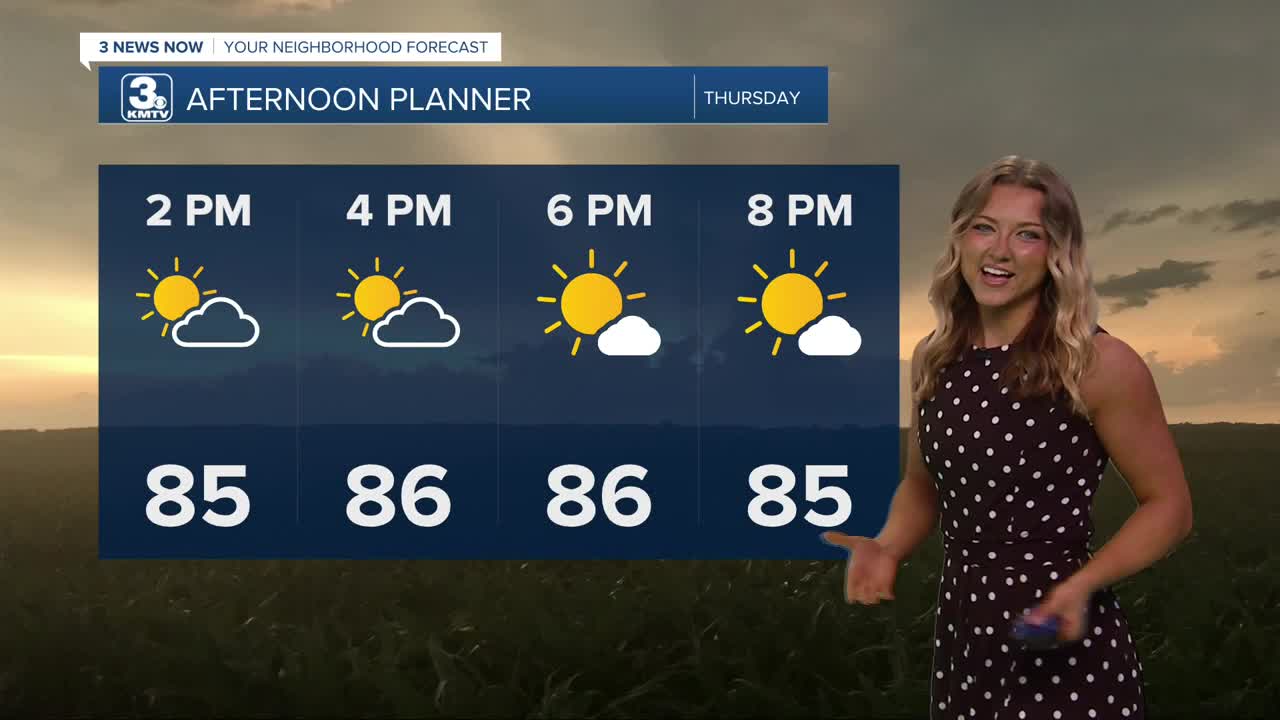
A handful of neighbors saw some damage from last night's storms. This afternoon, we'll experience a type of calm after the storm. Our temps will be a bit cooler, expect the mid 80s only as our afternoon high! Additionally, some of those clouds should move out of our way by the afternoon. It'll be a beautiful Thursday!
We'll keep a small chance at rain around for Friday afternoon, but a lot of the day looks to be dry with partly sunny skies. Temps will be near average, around 87-88 degrees.
Heading into the weekend, we are back to sunshine and warmer weather. Highs will be in the upper 80s Saturday, and low 90s on Sunday. The humidity shouldn't be too bad with dew points in the mid 60s.
The summer heat really begins to pick up heading into next week. Monday and Tuesday will be sunny with highs in the low to mid 90s. By the middle of next week, highs could climb back up into the mid to upper 90s. For now, the humidity does not appear to be exceptionally high, but could lead to afternoon heat indices around 95º every day of next week.
THURSDAY
Slight AM Rain Chance
Partly Cloudy
High: 86
Wind: N 5-15
THURSDAY NIGHT
Clearing Clouds
Pleasant!
Low: 68
Wind: S 5-15
FRIDAY
Partly Cloudy
Light, Spotty Afternoon Showers
High: 87
Wind: SE 5-15
Share your weather pictures with KMTV:
- Email to News@3newsnow.com
- 3 News Now Facebook page
- Use the hashtag #3NewsNow on Instagram or X (formerly Twitter)
