



3 Things to Know
- Hot & breezy this weekend
- Spotty rainfall over next few mornings
- Hovering within 90s next week
Forecast
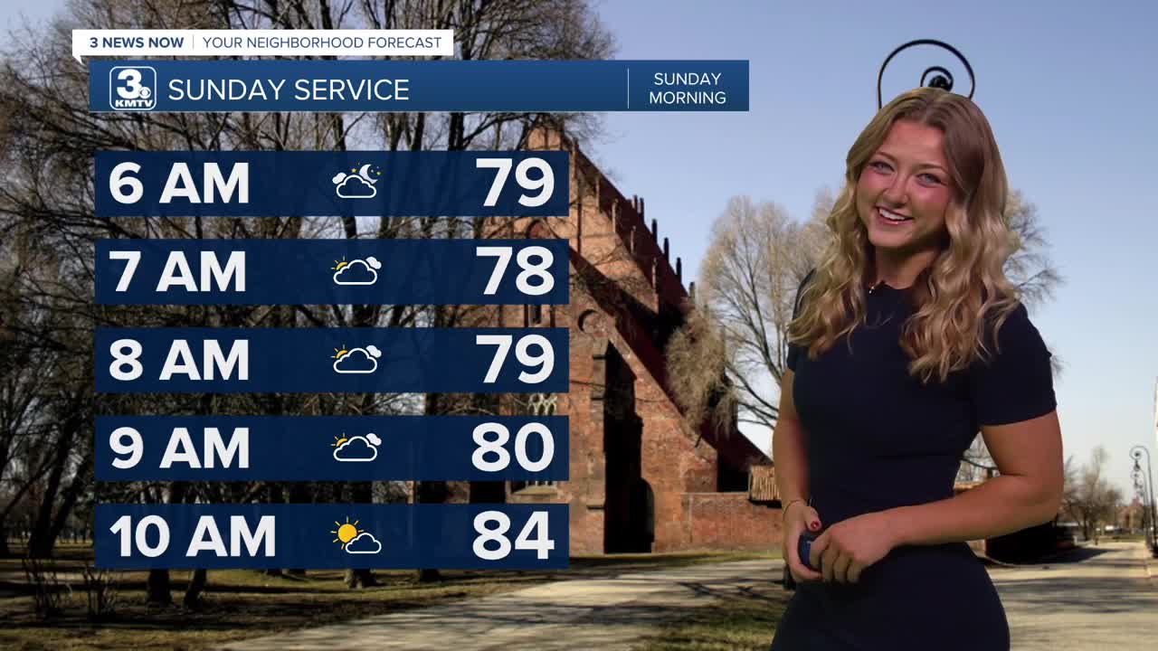
Sunday will be another hot one! For now, Sunday morning could see some showers in some spots. But at any given point of the say - much like Saturday - we could see a couple of sprinkles! Skies will be partly sunny and it remains breezy with highs in the mid 90s. The heat index will again be around 95-98.
Things now are looking to remain very warm for all of next week. Daytime temps will be in the low 90s from Monday through Friday, but the modestly lower humidity should keep the heat index around only 95-97 degrees.
Typically for the end of August we'll see around the mid to lower 80s for that afternoon high. Needless to say we're definitely far beyond that. Depending on where our temps get Sunday, we do have a small potential to beat some records - that previous record high is set at 98 degrees!
For now, the trends are that any heavy rain will mostly dodge the Omaha region. Very similar to Sunday, Monday morning also poses our next best chance at widespread showers, but this is looking fairly light so far. A few isolated showers could clip parts of Northeast Nebraska or northwest Iowa at any point in the week. This rain would be mainly north of Omaha.
SATURDAY
Partly Sunny
Spotty AM Storms
High: 92
Wind: S 25-35
SATURDAY NIGHT
Partly Cloudy
Breezy
Low: 76
Wind: S 25-30
SUNDAY
Partly Sunny
Warm
High: 95
Wind: S 15-25
MONDAY
Partly Sunny
...Still warm
High: 94
Wind: S 15-25
Share your weather pictures with KMTV:
- Email to News@3newsnow.com
- 3 News Now Facebook page
- Use the hashtag #3NewsNow on Instagram or X (formerly Twitter)
