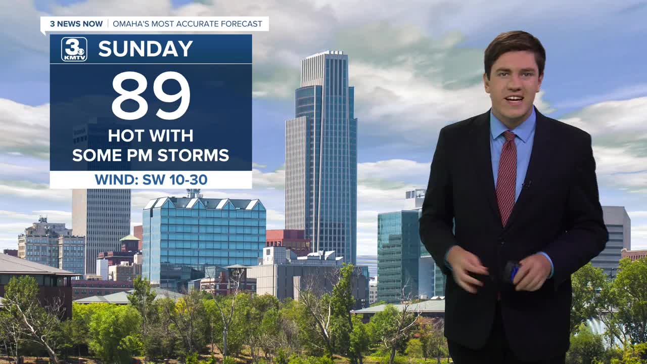


Sunday will be partly sunny, helping to keep the heat a little more under control. Highs will be just shy of 90. The day starts dry, but a few spotty showers and storms will start to move in from the west during the afternoon. Some of these storms over central to eastern Nebraska could become severe, with damaging wind and pockets of large hail. These storms will move towards Omaha after sunset, but should start to weaken and break apart into a broken line of rain when reaching the metro and western Iowa. About half of us will see rain, and half of us won't.
Most of us will be dry by Monday, although there could be a couple leftover spotty showers around in the afternoon. We will be in the upper 80s with more sunshine.
Tuesday will be in the upper 80s with a mix of sun and clouds. Some of our neighborhoods will be dry, but there will be scattered rain and storms across eastern Nebraska and western Iowa.
Scattered rain and storms will continue Wednesday, helping to cool us off into the upper 70s.
We continue to cool off Thursday, down into the middle 70s, with additional chances for storms.
We continue to slowly cool down into the low 70s by the weekend with a small chance of storms.
SUNDAY
Partly Sunny
Scattered PM Rain/Storms
High: 89
SUNDAY NIGHT
Mostly Clear
Warm
Low: 66
MONDAY
Partly Sunny
Slightly Cooler
High: 89
TUESDAY
Mostly Cloudy
Late Day Rain & Storms
High: 87
Share your weather pictures with KMTV:
- Email to News@3newsnow.com
- 3 News Now Facebook page
- Use the hashtag #3NewsNow on Instagram or X (formerly Twitter)
