

3 THINGS TO KNOW:
- Wintry mix over Iowa tomorrow
- More cold air this weekend
- Chance of light snow Saturday morning
FORECAST:
High winds are buffeting Nebraska and Iowa this morning. Many locations are seeing 55-65 mph wind gusts. This will continue for the next couple of hours before the winds start to calm down after sunrise. However, it may still be breezy at times during the day.
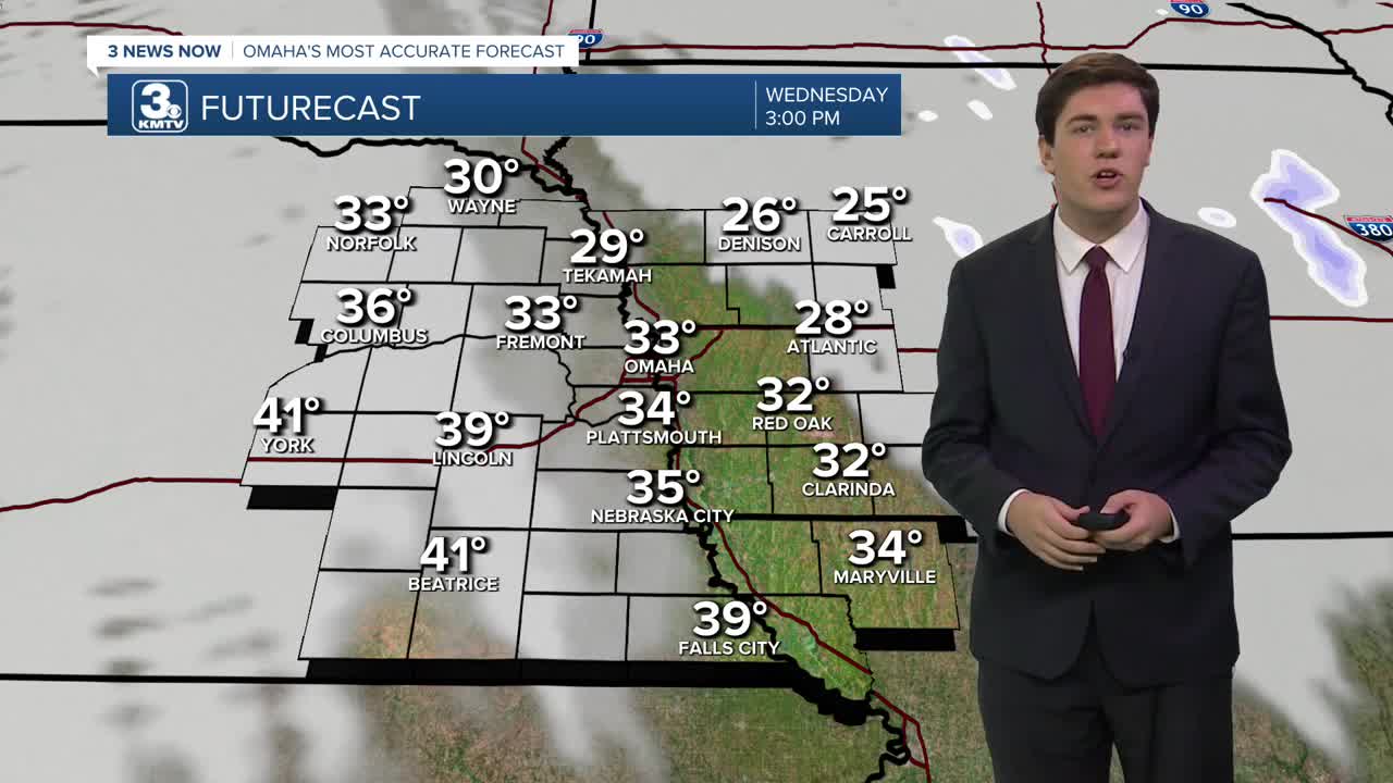
Temperatures will stay steady for the day under mostly cloudy skies, in the low 30s. We could see some snow flurries in the morning, too.
Thursday will remain mostly cloudy with highs in the mid-30s. A wintry mix is possible, mainly northeast of Omaha. Most of us will be dry, and those who do see the mix, it likely won't amount to much.
Another cold front will reach Omaha on Friday, sending in more arctic air for the weekend. Friday will be windy and cloudy with highs in the mid-20s.
We have increased confidence in light snow Friday night into Saturday morning. Specific details on locations and amounts are uncertain, but some minor accumulation is possible around and north of Omaha heading into Saturday morning.
The weekend will be cold! Highs on Saturday will be in the 10s with lows near 0 on Saturday night. By Sunday, we are mostly sunny and back in the mid-20s.
Warmer weather will slowly return early next week, and Omaha's high temperature will be at or above average (39 degrees).
WEDNESDAY
Mostly Cloudy
Cold
High: 33
Wind: NW 10-20
WEDNESDAY NIGHT
Mostly Cloudy
Snow Flurries
Low: 22
Wind: N 5-15
THURSDAY
Mostly Cloudy
Wintry Mix NE of Omaha
High: 37
Wind: N 5-15
FRIDAY
Cloudy
Breezy
High: 26
Wind: NW 15-25
Share your weather pictures with KMTV:
- Email to News@3newsnow.com
- 3 News Now Facebook page
- Use the hashtag #3NewsNow on Instagram or X (formerly Twitter)
