

Neighbors got creative in last week's snow.
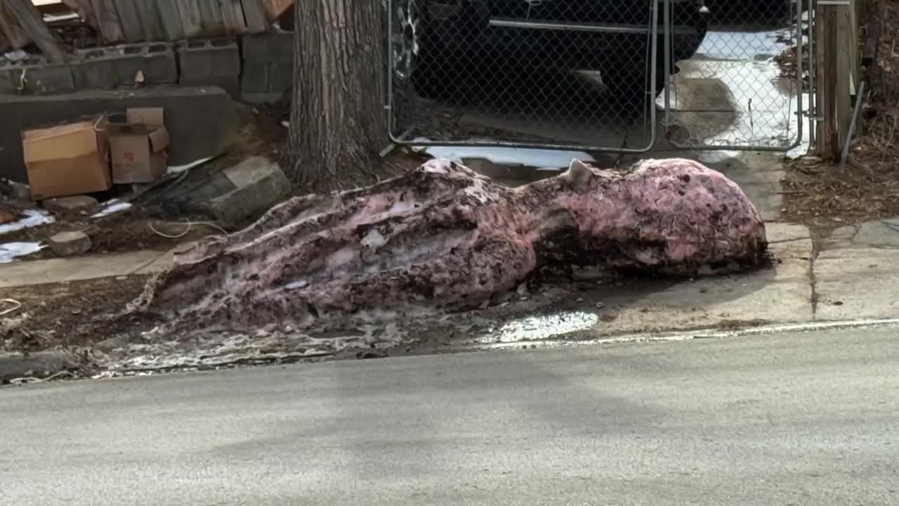
Thanks to a viewer's email, we found some cool-looking sculptures at 32nd and Redick, including a shark, a lizard, and an octopus! A week after the snow, and they have seen better days thanks to the snow melt. Much like the Omaha region has seen better winters.
Eppley Airfield picked up 8.3" of snow last Thursday, a respectable number (in fact, the largest single-day snow since 2021!), but it did not help us reach anywhere near normal for snowfall.
Average snowfall at Eppley is around 26", and we are well behind with 14.8". As of now, this is the 14th least snowy winter on record. This only continues the streak of exceptionally dry winters. To emphasize the point, the past five winters have netted 76.5" in Omaha. The average snowfall is around 144.7", which is only *half* the average and by far the driest 5-year stretch of winters our region has experienced since records began in 1885.
What about temperature? It has been a warm winter so far, particularly around Christmas & in February. If current forecasts hold, we will be in the top 10 warmest February's in Omaha's history. However, there have been enough cold spells to knock the seasonal warmth into 22nd place, still high, but not setting records.
Winter is not over yet, but unless things dramatically turn around in March (it is possible), Omaha is looking at yet another warm & dry winter.
