



3 Things to Know
- Weekend sunshine, near average
- Better rain chances next week
- Temperatures remain seasonal
Forecast
The cold front has brought us some cooler air that we are feeling today, and that will continue overnight as temperatures drop into the mid-60s. The wind will also persist overnight, but gradually taper off by tomorrow morning.
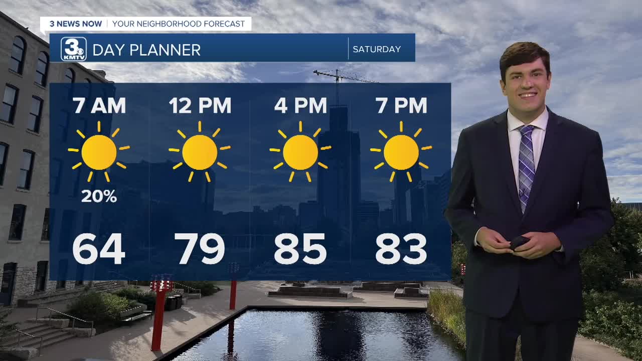
It will be a bit breezy for Saturday with highs reaching the mid-80s, right near average for the first day of August.
We get cool Saturday night; some rural neighborhoods may reach the upper 50s, while Omaha will be in the low 60s. This cooler start will still lead to a warm day, with highs in the upper 80s.
We keep the dry weather into Monday with another afternoon spent in the upper 80s.
Tuesday will be mostly dry, but some afternoon showers may begin to build in from the west. Highs will be in the mid-80s.
Confidence is growing in rain & storms on Wednesday. As of now, it does not look like a washout, nor does anything look particularly strong. If we see more storms, it will keep the temperatures down some, in the 70s and 80s.
Rain may linger into Thursday morning, but we dry out by the afternoon. Highs will be in the mid-80s.
By Friday, we are dry, but we begin to warm up more into the upper 80s. And signs are that we may get hotter into next weekend.
SATURDAY
Mostly Sunny
Seasonal
High: 85
Wind: N 15-25
SATURDAY NIGHT
Partly Cloudy
Cool
Low: 62
Wind: NW 15-35
SUNDAY
Mostly Sunny
Seasonal
High: 87
Wind: SE 5-10
MONDAY
Mostly Sunny
Seasonal
High: 87
Wind: SE 5-10
Share your weather pictures with KMTV:
- Email to News@3newsnow.com
- 3 News Now Facebook page
- Use the hashtag #3NewsNow on Instagram or X (formerly Twitter)
