

3 THINGS TO KNOW:
- Calmer wind, but still cold Monday
- Warmer weather returns Tuesday
- Another cool-down around New Year's Day
FORECAST:
It's very cold & breezy to start the week. Temperatures will be around 10, with wind chills below 0.
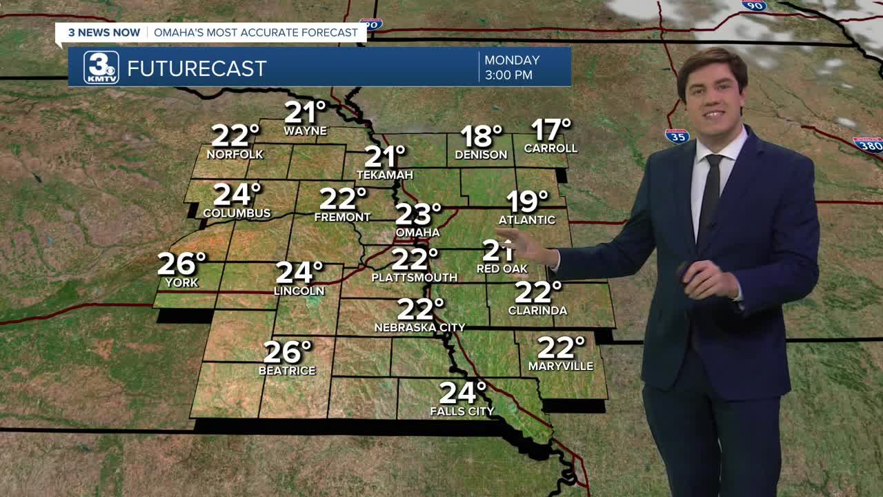
The wind subsides today, but the cold will not. Highs on Monday are expected to be in the low 20s, despite the sunshine.
Tuesday will be warmer and mostly sunny with highs returning to the low 40s.
We get to keep some of the less frigid air around for New Year's Eve, but a cold front is expected to reach Omaha Wednesday night. Currently, precipitation is expected to remain east of the Omaha viewing area. By Thursday morning, we're back in the frigid cold, in the upper 10s
New Year's Day will be colder and mostly sunny with highs in the low 30s.
Our pattern appears to remain mainly dry for the rest of the week and this upcoming weekend. By Friday, we're back in the upper 30s, and we reach the low 40s again this weekend with mostly sunny skies. Highs on Sunday could approach 50.
MONDAY
Mostly Sunny
Cold
High: 23
Wind: NW 10-25
MONDAY NIGHT
Mostly Clear
Cold
Low: 13
Wind: NW 5-15
TUESDAY
Partly Cloudy
Warmer
High: 42
Wind: S 5-10
NEW YEAR'S EVE
Mostly Sunny
Above Average
High: 42
Wind: NW 5-10
Share your weather pictures with KMTV:
- Email to News@3newsnow.com
- 3 News Now Facebook page
- Use the hashtag #3NewsNow on Instagram or X (formerly Twitter)
