

3 THINGS TO KNOW
- Very warm start to the week
- Precip chance & midweek cooldown
- Windy on Thursday
FORECAST
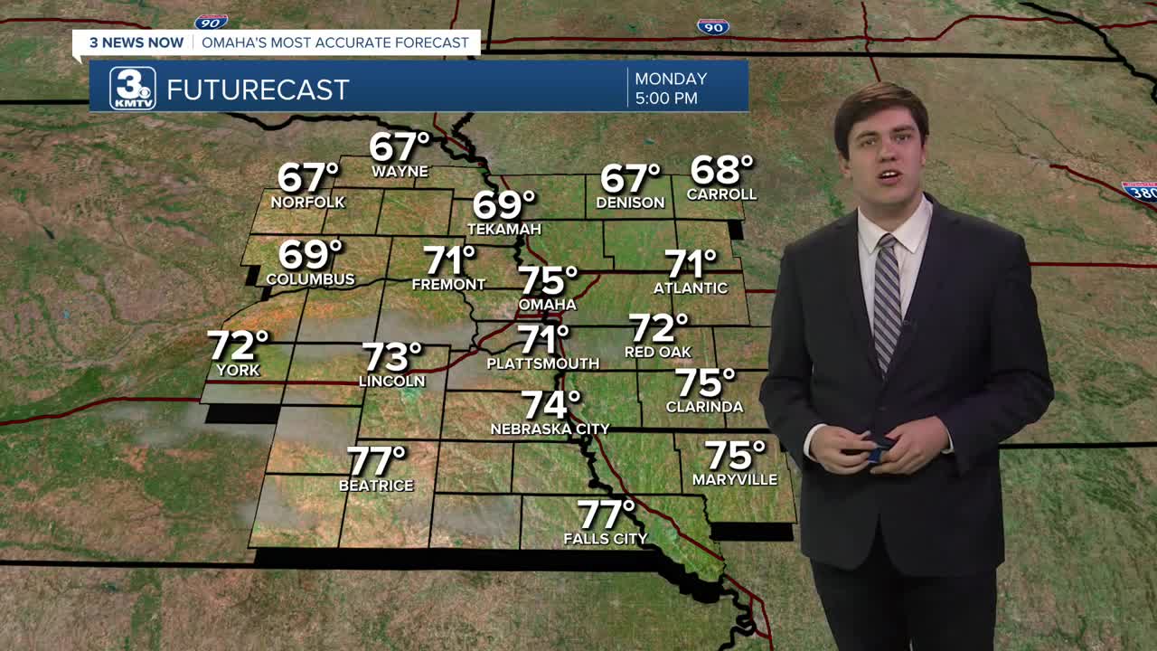
We lose the wind on Monday and get even warmer, with mid-70s highs under more sunshine.
A storm system approaches on Tuesday, bringing clouds and slightly cooler air, though highs will still be in the 60s. Most of the rain/storms will be over Kansas and Missouri, but a few showers may clip our southeast counties on Tuesday afternoon.
As colder air rushes in behind the front Tuesday night, there could be enough cold air & moisture for a band of light rain or snow to pass over eastern Nebraska and western Iowa. This is not a guarantee, but it is possible. As of now, this appears to be light enough not to cause significant issues, but it will be monitored closely. Highs on Wednesday hit the upper 40s, and the breeze returns.
The wind lasts through Thursday, but the colder air does not. We see the 60s return for Thursday, then fall into the 50s on Friday.
Another storm system may impact the heartland over the weekend, but this is subject to change.
MONDAY
Mostly Sunny
Warm
High: 75
Wind: S 5-10
MONDAY NIGHT
Mostly Clear
Not as Cold
Low: 42
Wind: S 10-20
TUESDAY
Partly Cloudy
Comfy
High: 64
Wind: NE 5-15
WEDNESDAY
Partly Cloudy
Some AM Rain/Snow
High: 50
Wind: NW 15-30
Share your weather pictures with KMTV:
- Email to News@3newsnow.com
- 3 News Now Facebook page
- Use the hashtag #3NewsNow on Instagram or X (formerly Twitter)
