



3 Things to Know
- Rain west of Omaha Sunday; expands overnight
- Midweek trending drier, but more late-week storms
- Summertime temperatures
Forecast
Saturday has dried out with lots of sunshine, and temperatures are in the mid-80s. Tonight, we stay dry as temperatures fall into the low 60s.
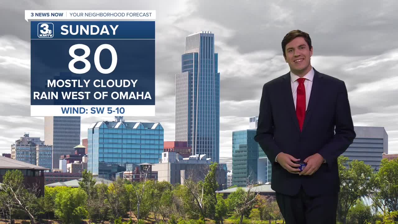
For many of us, Sunday will be a dry day. However, we will be watching some rain showers move into our western counties during the day. These showers could get as far east as the Missouri River by Sunday evening. Overnight, storms become widespread into Monday morning. The severe threat is very low, but some loud storms could roll through for the AM commute.
The storms move away by Monday afternoon with highs near 80.
We start to dry out some midweek, but a spot storm is possible for Tuesday afternoon as highs jump into the upper 80s.
Dry weather reigns on Wednesday and Thursday, with highs topping out in the upper 80s.
By Friday, storm chances return to Nebraska and Iowa, and these may linger into the weekend.
SUNDAY
Mostly Sunny
Scattered Rain West
High: 80
Wind: SW 5-10
SUNDAY NIGHT
Mostly Cloudy
Rain & Storms
Low: 66
Wind: N 5-10
MONDAY
Partly Cloudy
Morning Storms
High: 80
Wind: SE 5-10
TUESDAY
Partly Cloudy
Spot PM Storm
High: 88
Wind: SE 5-10
Share your weather pictures with KMTV:
- Email to News@3newsnow.com
- 3 News Now Facebook page
- Use the hashtag #3NewsNow on Instagram or X (formerly Twitter)
