

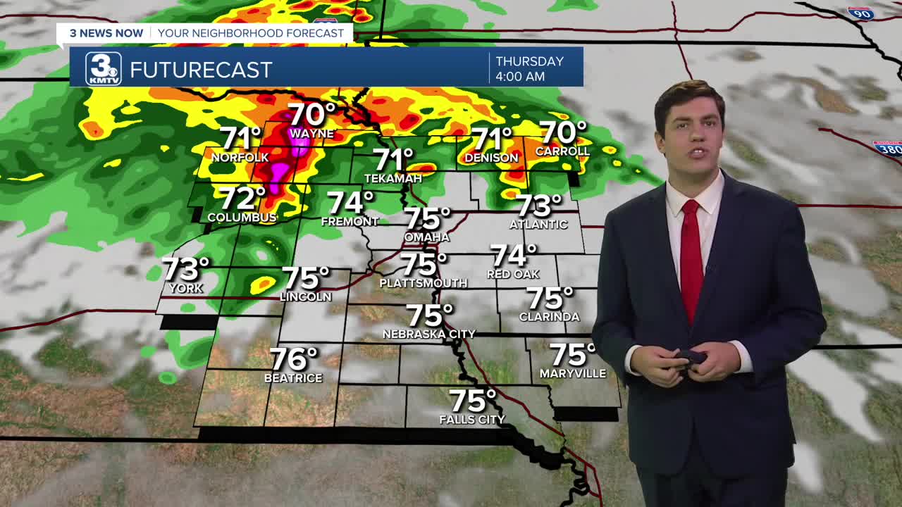


3 Things to Know
- Waves of storms beginning Wednesday night
- Returning to more seasonal temperatures
- Storms last into the weekend
Forecast
Wednesday is turning into another hot and humid day with highs in the upper 80s to low 90s with a heat index around 100-105.
Heading into Wednesday night, showers and storms will become likely and widespread after midnight. A few storms on Wednesday night could be strong, with isolated damaging winds or pockets of large hail, but the overall severe threat should be low. This rain will continue into Thursday morning.
These waves of storms will continue Thursday and Friday, and even into the first half of our weekend. The trend is for the overnight and morning hours to be the wettest, but we see some dry time by the afternoon before more storms roll in late-evening and into the overnight.
We could see some very heavy rain. In total, models are giving the region around 0.75" to 1.50" on average, with highest amounts of around 3.00" through Saturday night. The higher rain totals look to be north of I-80.
It should be much cooler than recently during our upcoming afternoons after Wednesday, with highs generally in the mid 80s, only feeling like around 90 degrees.
We should start to see things dry out a bit on Sunday and next Monday, but we'll keep a small chance for rain in there for now.
WEDNESDAY
Partly Sunny
Hot Afternoon
High: 89
Wind: SE 5-10
WEDNESDAY NIGHT
Mostly Cloudy
Rain & Storms
Low: 72
Wind: SE 5-15
THURSDAY
Partly Cloudy
Drier Afternoon
High: 85
Wind: NE 10-20
FRIDAY
Mostly Cloudy
Rain & Storms
High: 85
Wind: SE 5-15
Share your weather pictures with KMTV:
- Email to News@3newsnow.com
- 3 News Now Facebook page
- Use the hashtag #3NewsNow on Instagram or X (formerly Twitter)
