

3 Things to Know
- Warm, humid with more storms this weekend
- Storm chances continue early next week
- Next week looks hot
Forecast
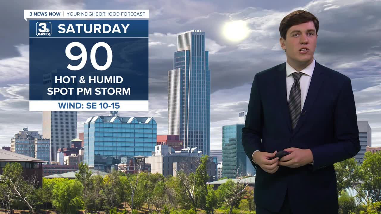
We should get a small break in the rain activity on Saturday, but not from the heat! Saturday will be very warm with highs near 90. Storms will develop in the heat of the day, but the chance of your neighborhood seeing a storm is somewhat low.
Sunday starts mostly dry and humid, but we expect a round of storms to move in after 9-10 AM, which would continue off/on for the rest of the day and into Monday. Severe weather is not expected, but we could see some heavier pockets of rain.
Monday, we begin to heat up, with temperatures climbing back to 90 degrees. Some afternoon storms are possible, but more of us will be dry than not.
Tuesday begins the peak of our first heat wave of the season. Highs will crest into the mid-90s. Combined with high humidity, heat index values could climb toward the triple digits. Like Monday, some afternoon storms are possible that may bring some relief.
On Wednesday, we reach the mid-to-upper 90s. The afternoon storm chance is there, but lower.
We remain hot on Thursday with highs in the mid-90s.
On Friday, we cool off a bit as a cold front arrives. It may also bring a better chance of some rain and storms.
SATURDAY
Partly Sunny
Warm & Humid
PM Spot Storms
High: 90
Wind: SE 5-10
SATURDAY NIGHT
Partly Cloudy
Warm
Low: 69
Wind: SE 5-10
SUNDAY
Mostly Cloudy
Rain & Storms
High: 83
Wind: SE 5-20
MONDAY
Partly Cloudy
Hot & Humid
PM Spot Storms
High: 90
Wind: S 5-10
Share your weather pictures with KMTV:
- Email to News@3newsnow.com
- 3 News Now Facebook page
- Use the hashtag #3NewsNow on Instagram or X (formerly Twitter)
