



3 Things to Know
- Heat continues until Tuesday cold front
- Storms Tuesday with cold front
- Cooler, but still warm, for rest of week
Forecast
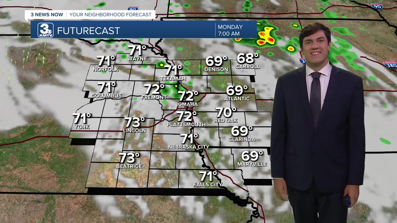
We may have some leftover rain Monday morning, but that should dissipate and lead to a drier afternoon as highs climb into the low 90s. Monday will be breezy too, with some 20-30 mph wind gusts.
We see one more very hot day Tuesday as a cold front approaches; highs reach the upper 90s. As the cold front passes through, thunderstorms will develop along it in the evening. As of now, the better chance to see storms will be along and south of I-80. Some strong storms cannot be ruled out. Any storms should clear the area by Wednesday morning.
The front will pull behind it some welcome cooler weather. While it will still be above average, highs drop into the mid-80s and lows into the mid-60s with much lower humidity for both Wednesday and Thursday!
We briefly spike close to 90 again Friday before another storm system brings some rain & cooler weather by the weekend.
MONDAY
Partly Cloudy
Some AM Rain
Breezy
High: 93
Wind: SE 15-25
MONDAY NIGHT
Mostly Clear
Warm
Low: 77
Wind: SE 10-20
TUESDAY
Partly Cloudy
Hot with PM Storms
Breezy
High: 97
Wind: SE 10-20
WEDNESDAY
Partly Cloudy
Cooler
High: 82
Wind: NW 5-10
Share your weather pictures with KMTV:
- Email to News@3newsnow.com
- 3 News Now Facebook page
- Use the hashtag #3NewsNow on Instagram or X (formerly Twitter)
