

3 THINGS TO KNOW
- Sunshine and warm on Sunday
- Mild start to the week
- Precip chance & midweek cooldown
FORECAST
A stormy end to the week has brought sunshine & cooler weather to the region for Saturday. Highs topped out in the low 50s, and will drop into the 30s under a clear sky tonight.
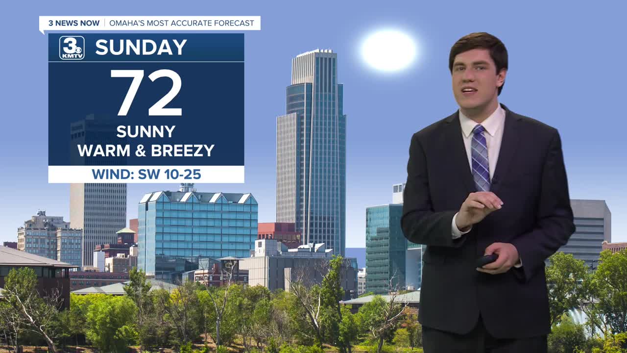
Sunday is shaping up to be a very comfortable day with lots of sunshine & warmer air. Highs will reach into the low 70s! It will be breezy, which may increase the fire risk, but the recent rainfall may limit the threat somewhat.
We lose the wind on Monday and get even warmer, with mid-70s highs under more sunshine.
A storm system approaches on Tuesday, bringing clouds and slightly cooler air, though highs will still be in the 60s. Most of the rain/storms will be over Kansas and Missouri, but a few showers may clip our southeast counties on Tuesday afternoon.
As colder air rushes in behind the front Tuesday night, there could be enough cold air & moisture for a band of light rain or snow to pass over eastern Nebraska and western Iowa. This is not a guarantee, but it is possible. As of now, this looks to be light enough not to bring any significant issues, but it will be watched closely. Highs on Wednesday hit the upper 40s, and the breeze returns.
The breeze lasts through Thursday and Friday, but the colder air does not. We see the 60s return for Thursday, then fall into the 50s on Friday.
Another storm system may impact the heartland over the weekend, but this is subject to change.
SUNDAY
Sunny
Warm & Breezy
High: 72
Wind: SW 15-25
SUNDAY NIGHT
Clear
Not as Cold
Low: 44
Wind: S 10-20
MONDAY
Mostly Sunny
Warm
High: 75
Wind: S 5-10
TUESDAY
Mostly Cloudy
Mostly Dry
High: 66
Wind: SE 5-15
Share your weather pictures with KMTV:
- Email to News@3newsnow.com
- 3 News Now Facebook page
- Use the hashtag #3NewsNow on Instagram or X (formerly Twitter)
