



3 Things to Know
- In the 90s again Wednesday
- Rain and Storms Thursday, Friday
- Seasonal weekend
Forecast
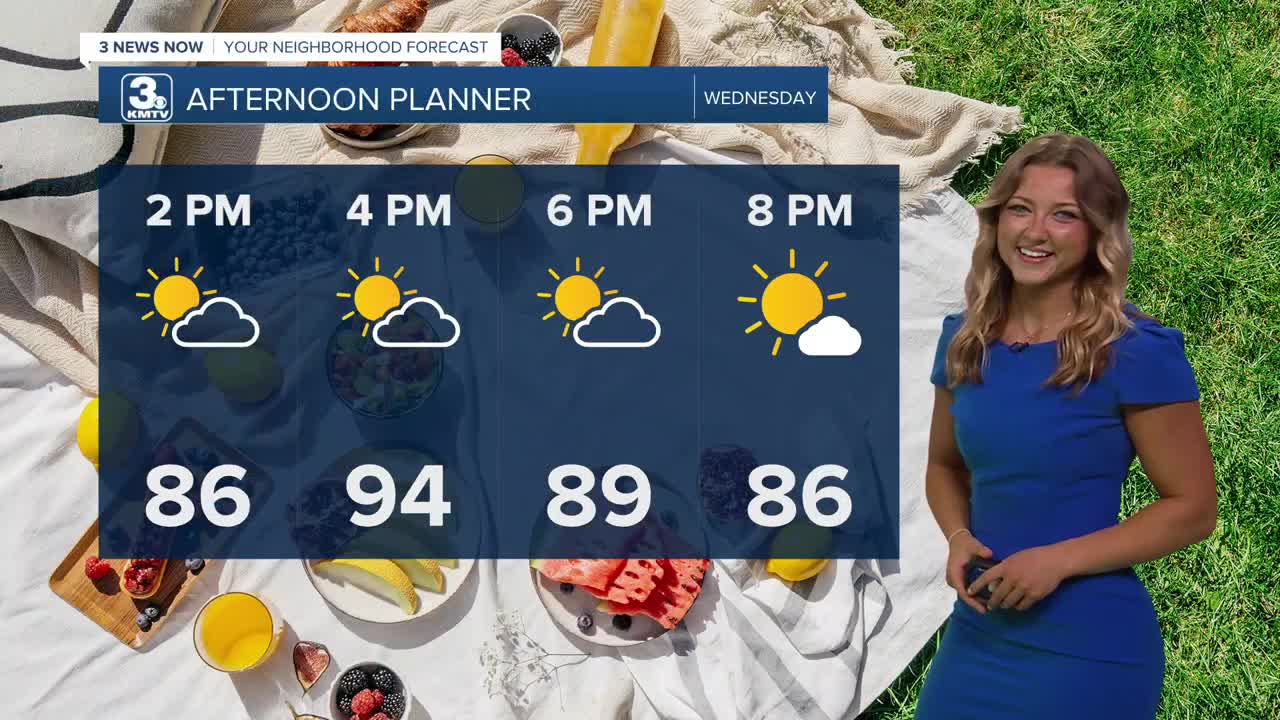
We're waking up this morning to a little bit of mugginess outside, and temps already in the upper 70s. That means we'll be looking at another warmer day, with highs in the 90s once again this afternoon.
That being said, our heat index will still be nearing the 100s. If you've got some outdoor events planned today, it's still a good idea to take breaks and stay hydrated today! We should see lots of sunshine, though there might be a pop up shower later in the day.
Heading into Thursday, our next round of rain begins to move in. Expect lots of clouds and occasional rain showers throughout the day Thursday with highs only in the mid 80s.
There will be a marginal amount of severe weather ingredients in our atmosphere by Thursday afternoon and evening, so heads up for the potential of 1 or 2 storm cells capable of large hail or damaging wind gusts. This rain may also be heavy at times, lasting from Thursday night and into Friday morning.
In total, we could see amounts of 0.50" to 1.50" commonly around the region from the Thursday/Friday rain - flooding also remains a concern with this rainfall.
Friday may start out wet, but there should be drier weather by the afternoon. It will be cloudy and breezy with highs in the mid 80s and north winds gusting to 35-30 MPH.
Once the weekend rolls in, we're back to sunny skies, calmer wind and seasonally warm weather with highs in the upper 80s Saturday, and near 90 on Sunday. We are into the low 90s again by Monday. The humidity should remain a little lower this time.
WEDNESDAY
Mostly Sunny
Isolated Showers
High: 94
Wind: E 5-15
WEDNESDAY NIGHT
Partly Cloudy
Mostly Dry
Low: 74
Wind: E 5-15
THURSDAY
Mostly Cloudy
Scattered Storms
High: 86
Wind: SE 10-15
Share your weather pictures with KMTV:
- Email to News@3newsnow.com
- 3 News Now Facebook page
- Use the hashtag #3NewsNow on Instagram or X (formerly Twitter)
