

3 THINGS TO KNOW
- Milder weather Wednesday
- Near record highs later in the week
- Wildfire conditions remain elevated
FORECAST
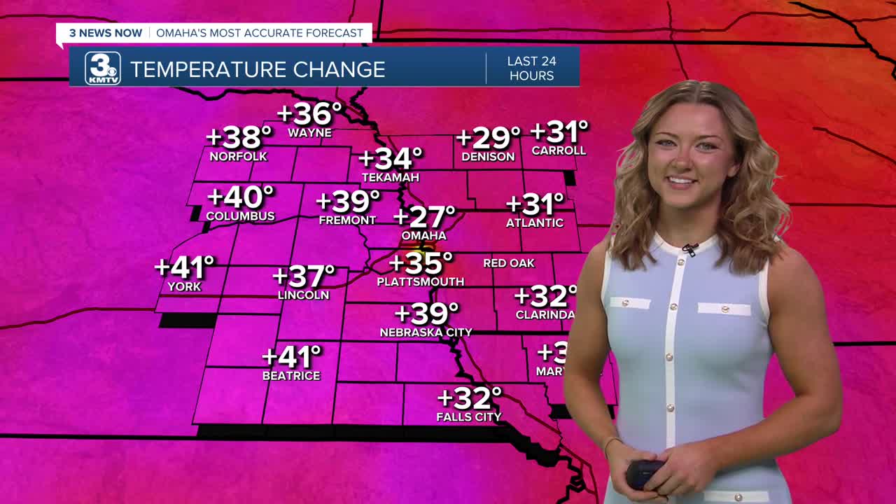
Temps are going to continue to climb throughout today, expect to see the upper 60s by this afternoon! Plenty of sunshine will be available this afternoon and throughout the remainder of the week.
Thursday will be even warmer with highs in the upper 70s! Record highs are possible both on Friday and Saturday with 80s for highs.
This warmup is all due to a ridging pattern that we see in our jet stream, it allows for more warm air to enter our area as polar air is kept out. Plus, this pattern allows for plenty of sunshine!
With the warmer weather likely comes more dry air and elevated wildfire conditions for the region this week. The wind will be gusting to 25-35mph Friday and Saturday, which will create high levels for weather weather, particularly on Saturday.
The second half of this weekend looks cooler, and breezy with highs dropping in the 60s by Sunday. As of now, no rain comes from this cool-down. We may see some rain by the end of next week.
WEDNESDAY
Mostly Sunny
Warmer
High: 68
Wind: ESE 5-15
WEDNESDAY NIGHT
Mostly Clear
Mild
Low: 40
Wind: W 10-15
THURSDAY
Mostly Sunny
Above-Average Temps
High: 73
Wind: NW 10-15
Share your weather pictures with KMTV:
- Email to News@3newsnow.com
- 3 News Now Facebook page
- Use the hashtag #3NewsNow on Instagram or X (formerly Twitter)
