

3 THINGS TO KNOW
- Warmer, in the 30s mid-week
- Small chance for snow Friday night
- Very cold air returns Friday, Saturday
FORECAST
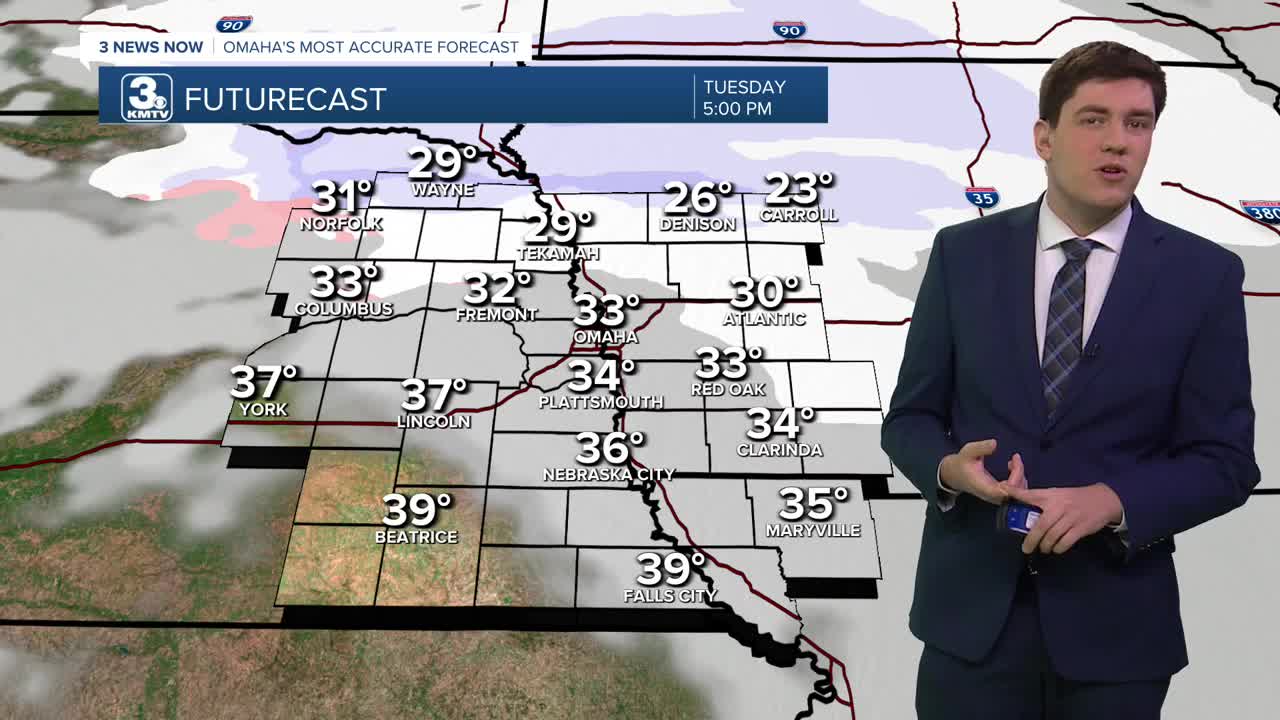
Tuesday begins cold in the morning, but we start a warm-up, into the low 30s by the afternoon with cloudy skies.
We could see a few pockets of snow showers northeast of Omaha from Tuesday afternoon through Wednesday morning. Most of us will be dry, and it only should bring up to a dusting of snow in areas where snow falls.
The wind is back on Wednesday, gusting to near 40 mph. It will be even warmer out with highs in the low 40s. A few rain or snow showers are possible, again mostly northeast of Omaha. A cold front will arrive Wednesday night, dropping temps in the 10s by Thursday morning.
By the end of the week, even colder air will move into the region. Thursday will be partly cloudy with mid-30s, but the cold air spills in tonight as temperatures drop below zero. For Omaha, this would be the first time this season that we will do that.
Friday is the coldest day with a high of around 4. Friday night will drop below 0 once again.
Any breeze could send wind chills as low as -25 to -20 at times.
There is a chance we could see a few snow showers Saturday, but a strong high pressure system moving in from Canada may reach us first, leaving the Omaha region just cold and dry.
By the end of the weekend, temperatures will start to recover, reaching the 20s on Sunday and the 30s by next Monday.
TUESDAY
Partly Cloudy
Seasonal
Snow Chance Northeast
High: 33
Wind: S 10-20
TUESDAY NIGHT
Partly Cloudy
Cold
Low: 20
Wind: SW 5-15
WEDNESDAY
Partly Cloudy
Snow Flurries
Windy
High: 43
Wind: S 25-40
THURSDAY
Partly Cloudy
Seasonal
High: 34
Wind: NW 5-15
Share your weather pictures with KMTV:
- Email to News@3newsnow.com
- 3 News Now Facebook page
- Use the hashtag #3NewsNow on Instagram or X (formerly Twitter)
