

Friday keeps trending warmer! We'll be near 80 degrees, which means some parts of southeast Nebraska should reach the mid 80s after a cool start to the day. The record high for Lincoln on Oct. 20th is 90 degrees. That record appears safe.
A cold front arrives Friday night, bringing windy conditions, and dropping temperatures this weekend back to near normal. We see sunshine Saturday with highs in the mid 60s and gusty winds around 25-35mph.
Clouds will move in throughout the day Sunday, eventually leading to a chance for rain into Sunday evening. Sunday's highs will once again reach the mid 60s.
We will start next week warmer and breezy, into the low 70s with mostly sunny skies.
Temperatures will reach lower 70s again Tuesday. A round of scattered showers and storms will move through the region late Tuesday night into Wednesday. More rain is expected Wednesday and Thursday.
FRIDAY
Mostly Sunny
Very Warm
High: 80
FRIDAY NIGHT
Clear Skies
Breezy
Low: 50
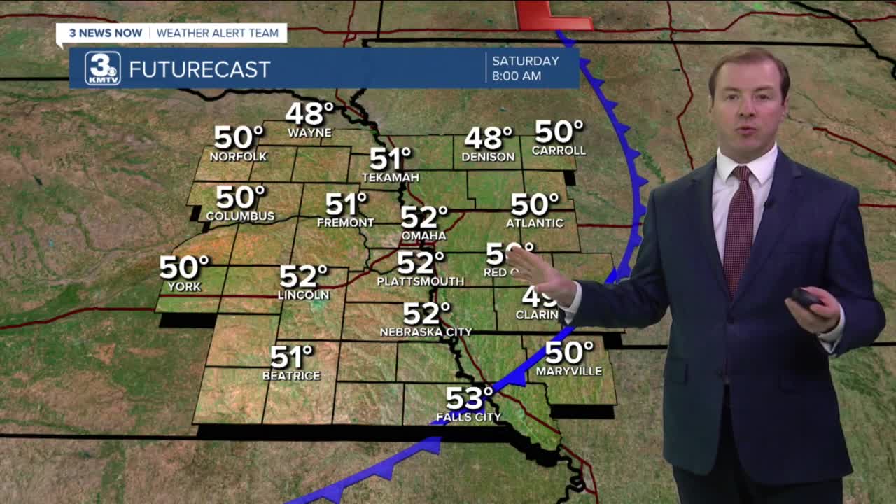
SATURDAY
Mostly Sunny
Breezy, Cooler
High: 66
SUNDAY
Partly Cloudy
Evening Rain
High: 65
Share your weather pictures with KMTV:
- Email to News@3newsnow.com
- 3 News Now Facebook page
- Use the hashtag #3NewsNow on Instagram or Twitter
Download the free Storm Shield app for ANY type of phoneReceive severe weather watches and warnings for your location as you track the storms on radar. Great for use at the office, at home, and while traveling.
