

3 THINGS TO KNOW
- Drier on Friday
- A stormy start to the weekend
- Temps to climb!
FORECAST
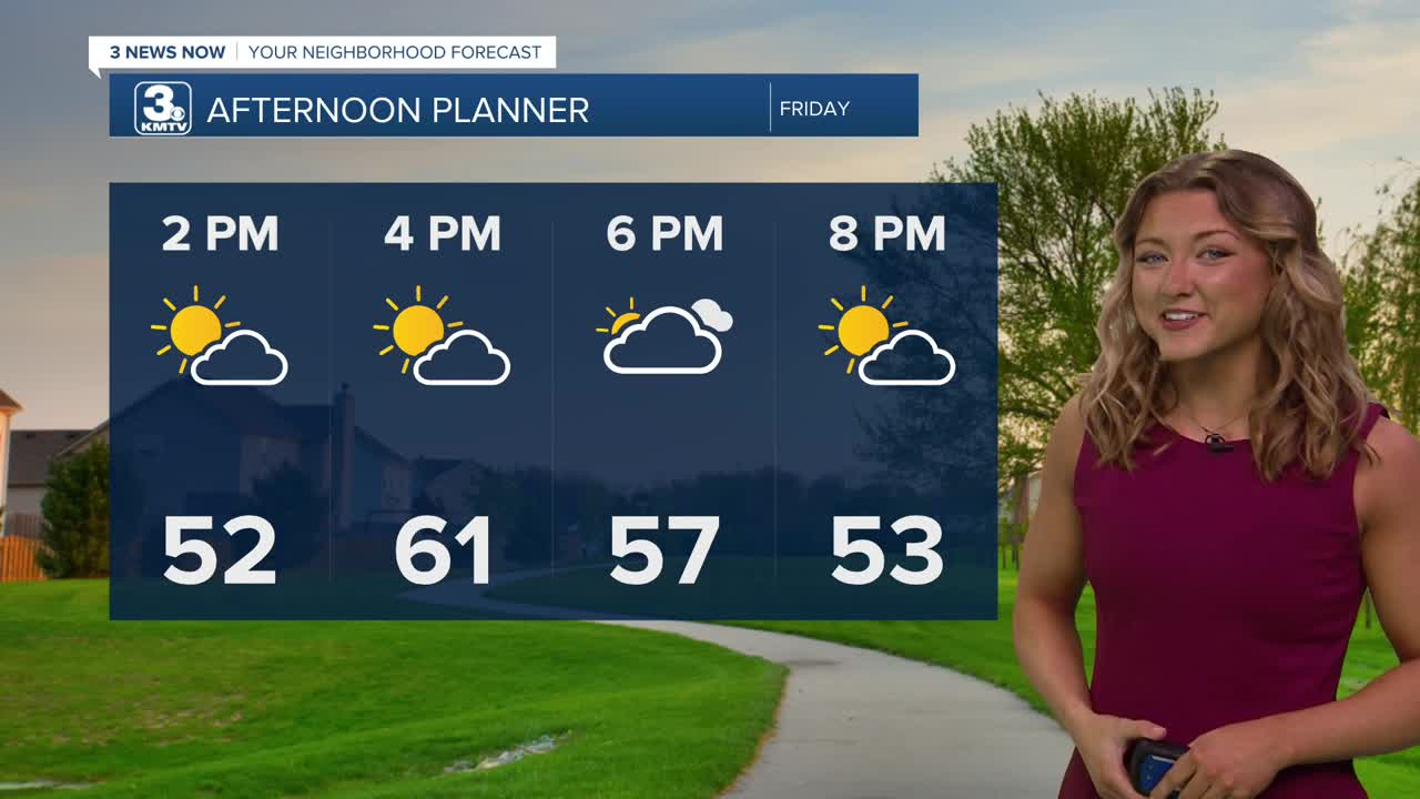
Despite some chilly temps around noon, we should warm up with a little bit more sunshine this afternoon. Most of us will see the lower 60s and a lot more dry time compared to yesterday.
More stormy weather returns for the start of the weekend, but things may be a little drier now on Sunday. Off-and-on rounds of storms will be from Saturday morning through late Saturday evening. A few pockets of hail may be possible, but Saturday's severe weather threat is fairly low.
Sunday is now trending to be a drier, breezy and warmer day with highs in the upper 70s to near 80. A few isolated storms may still pop up in the afternoon heat in Iowa, which could pose a severe weather risk.
Monday starts the new workweek even warmer with sunshine and highs in the 80s.
Tuesday gets looks wet and stormy as a cold front eventually moves through the region, and it could lead to a risk of severe weather, with highs near 80.
Estimated rainfall amounts will be around 1.00" to 1.50" through Tuesday night.
The rest of next week will be drier and warmer than average, in the 70s for next Wednesday and Thursday.
FRIDAY
Partly Sunny
Drier
High: 60
Wind: NE 10-15
FRIDAY NIGHT
Stormy into AM hours
Overcast
Low: 45
Wind: NE 10-15
SATURDAY
Stormy in morning
Mostly Cloudy
High: 72
Wind: NE 10-15
Share your weather pictures with KMTV:
- Email to News@3newsnow.com
- 3 News Now Facebook page
- Use the hashtag #3NewsNow on Instagram or X (formerly Twitter)
