

3 THINGS TO KNOW
- Spot storms for the next few days
- Temps to climb into the 80s
- Breezy most of the week
FORECAST
It's warm and breezy through Sunday evening and night, and temperatures drop into the upper 50s by Monday morning.
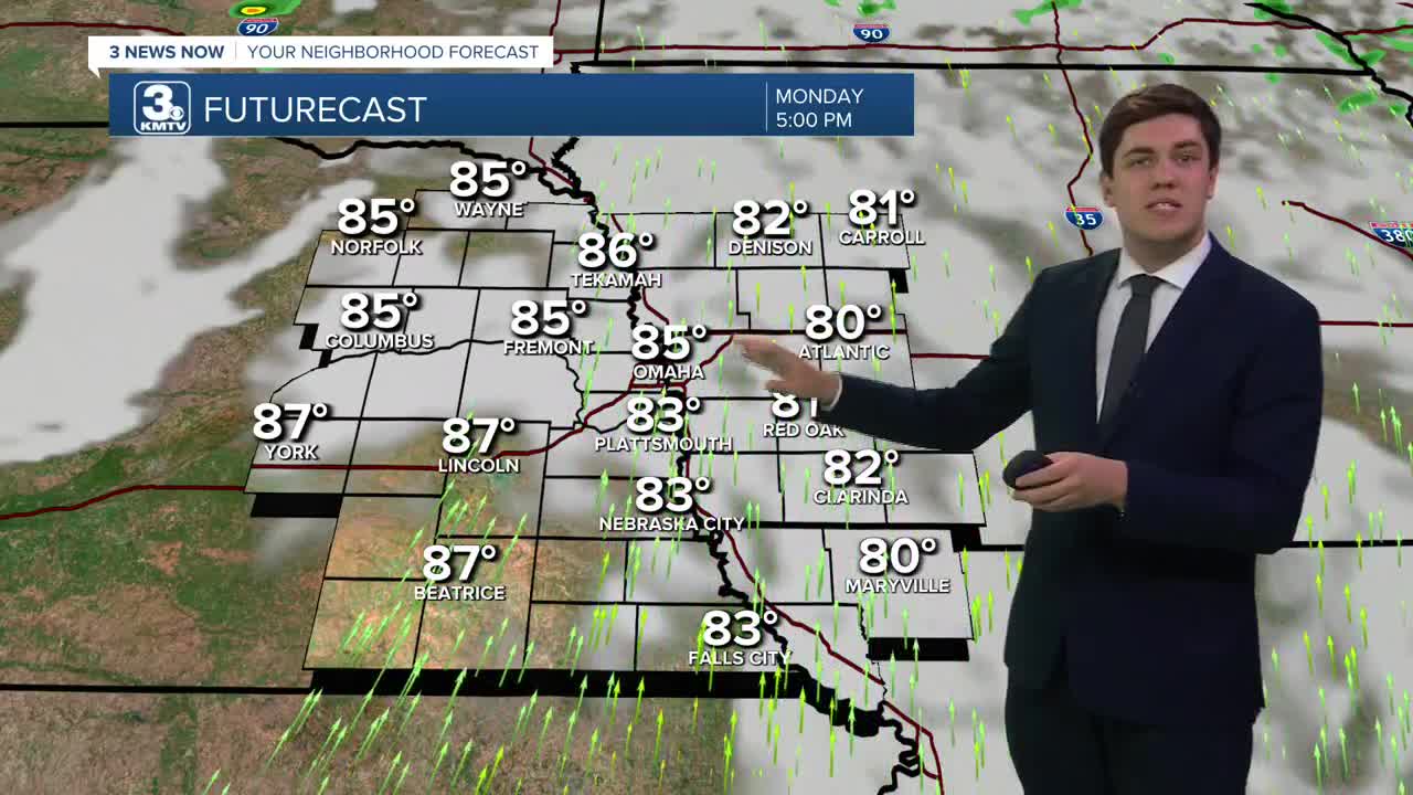
The breeze continues through Monday as temperatures climb into the mid-80s. We are also looking dry, with any storm chance well to our northeast over northern Iowa.
As a cold front gets closer on Tuesday, a few storms could develop in the afternoon. It won't be many, but any storm that can form could become severe. Highs on Tuesday reach the mid-80s.
A few more storms are possible on Wednesday, but any severe risk should move to our southeast by then. Most of us will be dry, however. Highs are a bit lower, in the upper 70s.
We are back in the 80s on Thursday under a mostly sunny sky.
A stronger cold front arrives on Friday, bringing a more widespread chance of thunderstorms. We will have to watch for a severe risk with these storms, but any details are TBD. Highs will reach the mid-70s, but fall into the 30s by Friday night.
We are notably cooler for the weekend, as highs only reach 50 on Saturday and the low 60s on Sunday. We might get cold enough on Saturday night for some patchy frost to develop.
MONDAY
Partly Sunny
Warm & Breezy
High: 86
Wind: S 10-25
MONDAY NIGHT
Mostly Clear
Warm
Low: 57
Wind: SE 5-10
TUESDAY
Partly Sunny
Isolated Storms
High: 88
Wind: S 10-25
WEDNESDAY
Partly Sunny
Isolated Storms
High: 79
Wind: S 15-25
Share your weather pictures with KMTV:
- Email to News@3newsnow.com
- 3 News Now Facebook page
- Use the hashtag #3NewsNow on Instagram or X (formerly Twitter)
