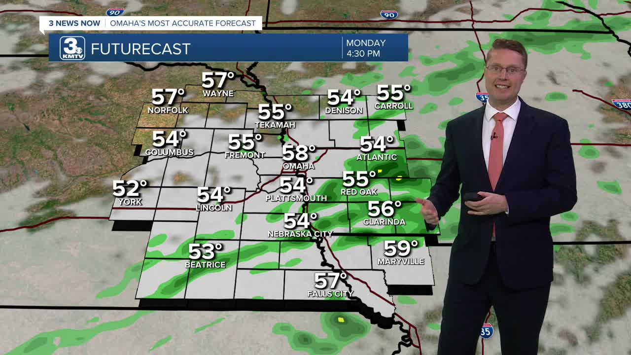


Scattered rain will continue on and off through the rest of the day, but there will be some dry time mixed in. It will also be breezy as cooler weather blows in behind our latest cold front. This will keep highs in the upper 50s... a huge difference compared to our recent 90s.
The scattered rain will begin to break apart this evening, and more of us will dry out early tonight. It could take until after midnight for all the rain to exit eastern Nebraska and western Iowa. Skies will then begin to clear into Tuesday morning as we drop into the mid 40s.
Tuesday afternoon will be mostly sunny and warmer with upper 60s.
It stays comfortable Wednesday with a high near 70 and a lot of sunshine.
Thursday will be mostly cloudy and breezy as we warm up into the mid 70s. There could be a few showers around, but due to low confidence in the rain developing, we'll keep the chance fairly low for now.
The sunshine takes back over Friday with upper 70s.
We continue to warm up over the weekend with low 80s. Both days look to be a bit breezy at times with a mix of sun and clouds. Rain could return late Sunday.
MONDAY
Mostly Cloudy
Scattered Rain
High: 58
MONDAY NIGHT
Partly Cloudy
Chilly
Low: 46
TUESDAY
Mostly Sunny
Cool
High: 69
WEDNESDAY
Mostly Sunny
Comfy
High: 70
Share your weather pictures with KMTV:
- Email to News@3newsnow.com
- 3 News Now Facebook page
- Use the hashtag #3NewsNow on Instagram or X (formerly Twitter)
