

3 THINGS TO KNOW:
- Wintry mix north of Omaha today
- Light snow Saturday morning
- Briefly frigid again Saturday night
FORECAST:
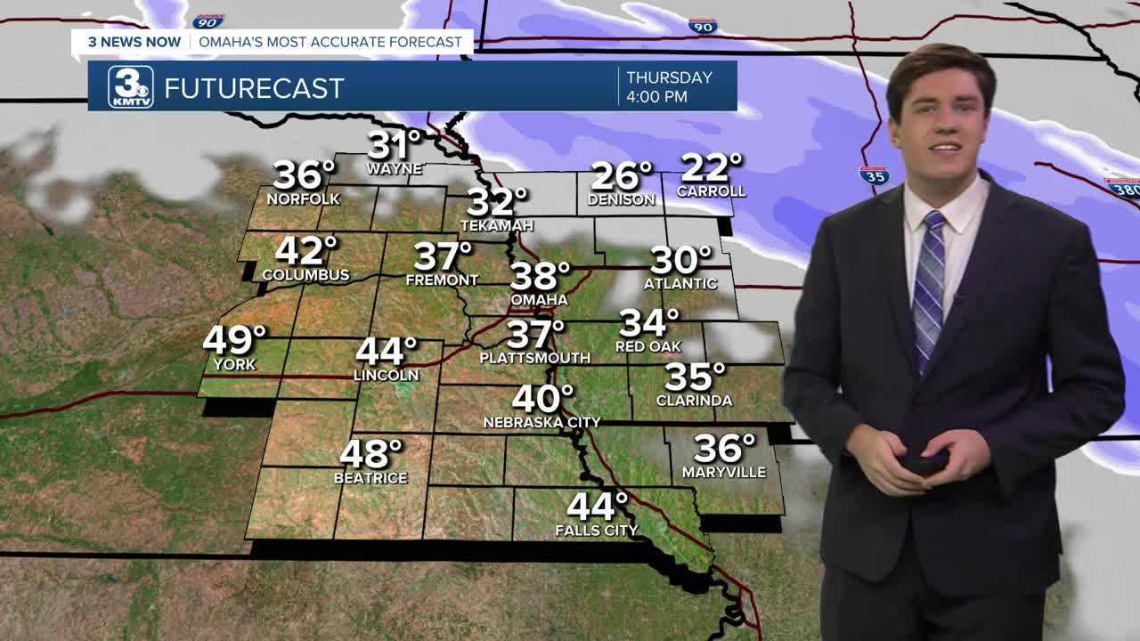
A light wintry mix is ongoing, mainly northeast of Omaha. Most of us will be dry. For those who do see the mix, it likely won't amount to much.
Another cold front will reach Omaha on Friday, kicking up the winds and sending in more arctic air for the weekend. Friday's highs will be in the upper 20s.
Light snow moves in after midnight on Saturday and lasts until the early afternoon. Not everyone will see snow, with the Omaha metro & north having the best chance. Amounts will be under 2" in the Omaha metro, with little to no accumulation south of the city, and 1-3" in neighborhoods north of town.
Highs on Saturday will be in the 10s with lows below 0 on Saturday night. By Sunday, we are mostly sunny and back in the low 20s.
Warmer weather will return early next week. Temperatures will be back in the 40s by Monday and Tuesday. Omaha's average high temperature for mid-December is 39 degrees. There is a small chance of rain in the middle of next week.
THURSDAY
Mostly Cloudy
Wintry Mix NE of Omaha
High: 39
Wind: N 5-15
THURSDAY NIGHT
Mostly Cloudy
Cold
Low: 23
Wind: N 5-15
FRIDAY
Cloudy
Breezy
High: 26
Wind: NW 15-25
SATURDAY
Cloudy
Light Snow
High: 26
Wind: NE 5-15
Share your weather pictures with KMTV:
- Email to News@3newsnow.com
- 3 News Now Facebook page
- Use the hashtag #3NewsNow on Instagram or X (formerly Twitter)
