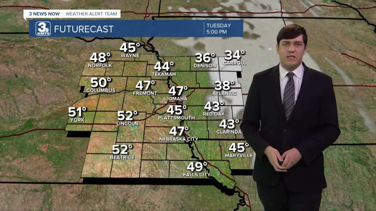
The winds shift out of the south on Tuesday. This brings us the fuel we need to warm up. Highs are closer to average with upper 40s finally making a comeback. Throughout the day, the winds will gradually increase, so it will be a bit breezy in the afternoon to evening.
Wednesday is by far the warmest day of the week! A lot of places reach into the upper 50s and lower 60s in the afternoon. These nice and spring-like temperatures are accompanied by partly cloudy skies and strong winds. 35-40 mph gusts are expected.
Our next system rears its head by early Thursday. It looks to start off as scattered rain showers in the first half of the day, before seeing the transition to snow in the evening hours. As this system is far out, it's too early to talk about snow accumulations and other firm details. What we do know is the winds will be gusting up to 40 mph and temperatures plummet after dark.
St. Patrick's Day brings a small chance for a few flakes to still be flying around in the morning hours. While, the afternoon brings partly cloudy skies. It will be cold with highs in the low to mid 30s and lows in the mid teens. Winds still gusting near 40 mph. Start planning ahead to keep your layers handy if you have evening plans on Friday.
The wind starts to lighten on Saturday, but it won't be a huge difference. We'll have gusts up to 30 mph, capping our highs around 30°.
TUESDAY
Mostly Sunny
Warmer
Breezy
High: 47
TUESDAY NIGHT
Partly Cloudy
Warmer
Low: 34
WEDNESDAY
Partly Cloudy
Above Average
Gusty
High: 60
THURSDAY
Mostly Sunny
Rain to Snow
Windy
High: 48
Share your weather pictures with KMTV:
- Email to News@3newsnow.com
- 3 News Now Facebook page
- Use the hashtag #3NewsNow on Instagram or Twitter
Download the free Storm Shield app for ANY type of phoneReceive severe weather watches and warnings for your location as you track the storms on radar. Great for use at the office, at home, and while traveling.


