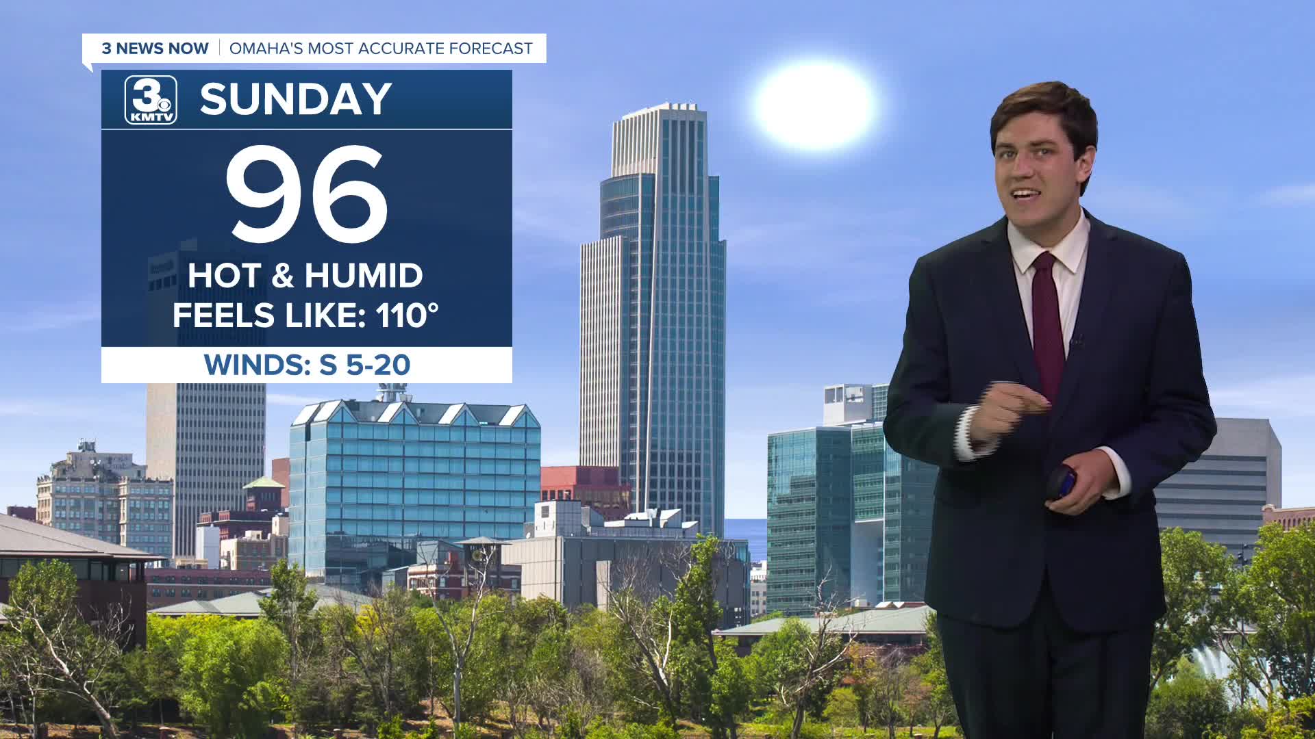


Sunday begins a couple of days of dangerous heat & humidity as high temperatures soar into the middle 90s. Combined with the humidity, it could feel like 105-110 degrees at peak heating.
We get even hotter on Monday, with our temperatures flirting with 100 degrees. The heat index could be as high as 110-115 degrees. Take those heat safety precautions seriously, and check in on those more vulnerable to the heat.
The cold front is slowing down, meaning Tuesday will be another toasty day with mid 90s and lots of sunshine. Heat indices could be as high as 105-110 again.
By Tuesday evening, the cold front arrives and sparks storms to our northwest, which then roll into our area Tuesday night. These storms could follow a similar script to past storm events, where they may be severe with gusty winds over northeast Nebraska, but weaken as they approach Omaha.
Once the storms move out Tuesday morning, we could see another round of storms Wednesday afternoon, depending on where the cold front is. Some models keep the front over eastern Nebraska & western Iowa, while others push it to our south. For now, let's keep an eye on a second round of storms on Wednesday, and these could also carry a small severe risk.
Not only will the cold front bring storms, but it will also bring some heat relief. Wednesday's highs only top out around 80 degrees!
We get even cooler to end the week, with upper 70s each day alongside a small risk for a thunderstorm or two.
Indications currently suggest that the cooler-than-average weather may persist into early August, but time will tell if this holds.
SUNDAY
Mostly Sunny
Hot & Humid
High: 96
SUNDAY NIGHT
Mostly Clear
Muggy
Low: 76
MONDAY
Mostly Sunny
Hot & Humid
High: 99
TUESDAY
Mostly Sunny
Late Night Storms
High: 96
Share your weather pictures with KMTV:
- Email to News@3newsnow.com
- 3 News Now Facebook page
- Use the hashtag #3NewsNow on Instagram or X (formerly Twitter)
