

3 THINGS TO KNOW:
- Staying mild today and tomorrow
- Rain & snow possible late this week
- 30-degree weather returns this weekend
FORECAST:
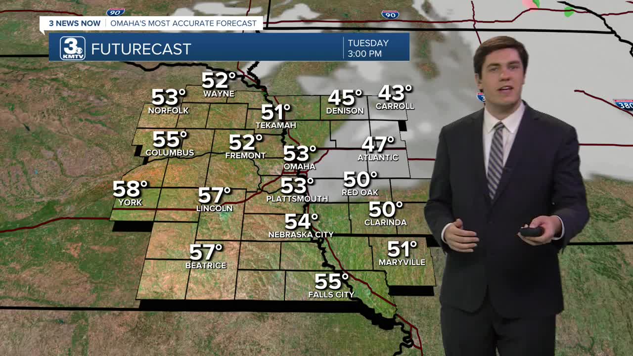
We're back into sunshine this afternoon, and it's being reflected in our temperatures, with highs in the low 50s.
We reach the peak of the warmth on Wednesday with highs in the 50s and even some 60s! The record high for Omaha is 65, set in 2003. Omaha will likely fall short of its record, though Lincoln may be a little closer to its record of 65, also set in 2003.
Clouds return before the start of Thursday, leading to a cloudy day. Rain moves into the region by late morning and is expected to persist through the afternoon. Not everyone sees rain, with the best chances being along & south of I-80. It will be a little cooler out with highs in the upper 40s.
We will see dry time through most of Friday before a second wave of precipitation moves through Friday evening. With the colder air in place, this looks to be light snow. Not everyone will see the snow, with neighbors south of I-80 having the best chance to see it. Snow amounts will be light where it does fall, likely staying under 1".
The weekend starts breezy, cloudy, and colder, with Saturday in the low 30s. Sunday will be less breezy and a little warmer with returning sunshine and highs in the lower 40s.
TUESDAY
Partly Cloudy
Mild
High: 53
Wind: NW 5-10
TUESDAY NIGHT
Mostly Cloudy
Chilly
Low: 32
Wind: SW 5-10
WEDNESDAY
Mostly Sunny
Warm
High: 59
Wind: SW 5-10
THURSDAY
Cloudy
Scattered Rain
High: 47
Wind: SW 5-10
Share your weather pictures with KMTV:
- Email to News@3newsnow.com
- 3 News Now Facebook page
- Use the hashtag #3NewsNow on Instagram or X (formerly Twitter)
