

3 THINGS TO KNOW:
- Mild weather begins this week
- Rain/snow looking more likely late this week
- Cold weather returns this weekend
FORECAST:
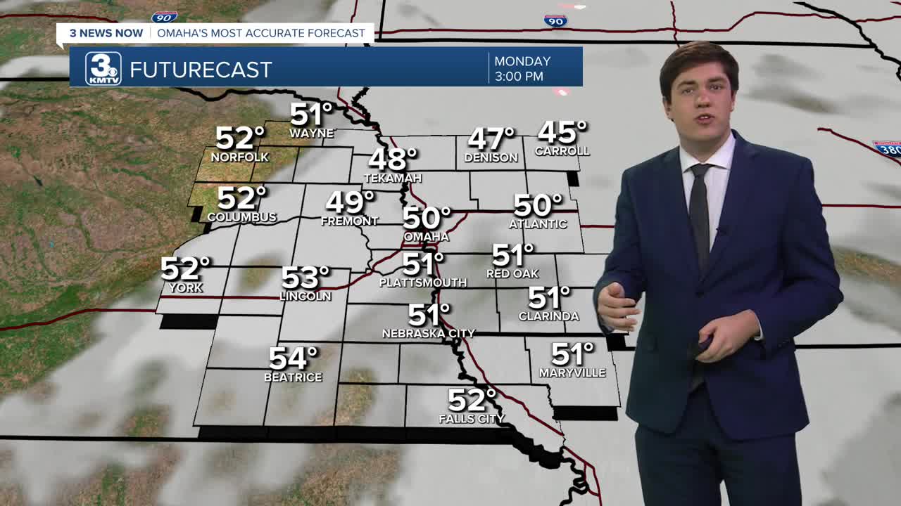
We continue the warmer trend that was started over the weekend today. Although it will be cloudy, we can expect highs in the upper 40s and low 50s. This is well above our average high of 33.
Patchy fog may develop overnight, particularly over western Iowa and perhaps far east Nebraska. This fog should lift fairly early in the morning, but it may linger in some spots for the morning commute.
With more sunshine on Tuesday, we get a touch warmer, into the low 50s.
We reach the peak of the warmth on Wednesday with highs in the 50s and even some 60s! The record high is 65, set in 2003. Omaha will likely fall short of this record.
A late-week storm system will bring two rounds of precipitation and colder weather for the weekend.
The first round begins Thursday afternoon, and it's expected to be all rain. The best chance for rain as of now looks to be along & south of I-80.
After a lull on Friday morning, colder air gets pulled into our area as the second round begins. It begins as a mix of rain and snow sometime on Friday afternoon, before changing to all snow by Friday night. It pulls away Saturday morning, though some snow showers may continue through the day.
Amounts are TBD as of now, but some accumulations are expected.
The weekend is breezy and colder with highs in the 30s and lows in the 10s.
MONDAY
Mostly Cloudy
Mild
High: 50
Wind: SE 5-10
MONDAY NIGHT
Mostly Cloudy
Patchy Fog
Low: 34
Wind: NW 5-10
TUESDAY
Partly Cloudy
Mild
High: 53
Wind: NW 5-10
WEDNESDAY
Mostly Sunny
Warm
High: 59
Wind: SW 5-10
Share your weather pictures with KMTV:
- Email to News@3newsnow.com
- 3 News Now Facebook page
- Use the hashtag #3NewsNow on Instagram or X (formerly Twitter)
