


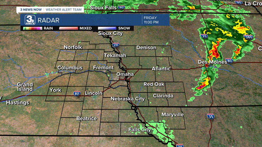
April 26, 2024, will go down in weather history for eastern Nebraska and western Iowa. As many have seen, multiple strong tornadoes tore across the landscape. Communities from northeast Nebraska to Central Iowa were impacted, but the outbreak reached a particularly violent intensity near the Omaha metro.
Some might ask in an area prone to tornadoes why last Friday was seemingly more violent than the others. Was there any particular ingredient in place that produced such a prolific event? While it likely will take extensive research over several months to answer this question fully, we can provide a few details now.
First, let's go over the ingredients needed for severe weather. The checklist is: moisture, instability, wind shear, and lift. Did we have all of them in place? Let's go one by one.
Moisture- Yes. The dew points that day were in the low to mid-60s. Typically, once the dew point reaches 60 it feels "humid" outside. If you were outside on Friday, you felt the thickness of the air with plenty of water.
Instability- Yes. Instability is a measure of how fast air can rise in the atmosphere. The higher the instability, the faster air can erupt into thunderstorms. This was one of the primary concerns for severe weather on Friday. From our forecasts, we stated that the severe weather threat was tied to the amount of sunshine we would see before storms arrived. The sunshine helps to heat the atmosphere and in turn, increases instability. Less sunshine = less instability = less severe storms and vice versa. The sun came out in Omaha around 1 pm, which brought ample instability to the area for storms to take advantage of.

Wind Shear- Yes. Wind shear is the change in wind with height, whether directionally or speed. In severe weather, oftentimes there is ample speed shear where the wind increases with height (i.e. 20 mph at the ground to 80 mph at the cloud level) as well as ample directional shear (i.e. wind coming out of the south at the ground, then turns out of the west at the cloud level). Last Friday, we had both speed and directional shear in droves. This helps the storms to rotate, which can in turn produce tornadoes.
Lift- Yes. This is the easiest to explain. For storms to develop, they need a lift or a "trigger" to get the air to rise. In this case, a cold front was moving through eastern Nebraska which helped to force air upward to tap into the large instability, and thus the thunderstorms were born.
So, all of these ingredients appeared in massive quantities. This was the classic severe weather set-up over the Midwest. Storms formed around 1 pm southwest of Lincoln. These storms were supercells, the most dangerous kind of thunderstorm. These supercells moved northeast, many of which produced tornadoes.

One particular supercell developed near Fairbury and moved through Lincoln. This storm was responsible for the Waverly tornado, then the Elkhorn and Blair tornado, and probably farther in Harrison and Monona counties.
Two other supercells formed south of Omaha in Cass and Otoe Counties. One of these went on to produce the Eppley Airfield tornado. The other supercell produced tornadoes from Glenwood to the west of Carroll, infamously hitting Minden and near Harlan.
Outside of those areas, supercells in northeast Nebraska probably spawned several tornadoes between Columbus and Norfolk. A probable tornado did damage in Butler County south of David City. Numerous tornadoes occurred in central Iowa and perhaps some near Falls City.
While we do not know the numbers, this outbreak will become one of the largest tornado events in eastern Nebraska and western Iowa history.
