



3 Things to Know
- Strong storms possible Friday evening
- Spotty rain this weekend
- 'Fall-like' feel with cooler-than-average temps
Forecast
We are waking up warm and a bit cloudy on Friday morning, with temperatures in the low 70s. Any morning clouds/rain should clear up by noon and we're into some afternoon sunshine.
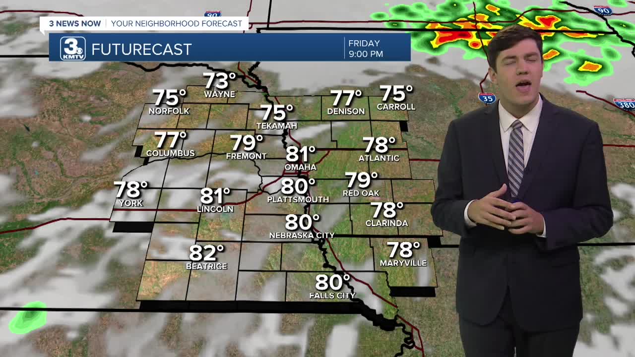
Friday will be a mostly sunny, warmer, and windy day that ends with thunderstorms in the evening. We will also be monitoring a severe weather chance on Friday evening with highs in the upper 80s. The best time to see rain will be after 4 PM.
We'll keep the rain at a probable chance over this weekend, so have a backup plan for any outdoor events. Saturday may start wet, but we see dry time in the afternoon before more storms arrive south of I-80 by the evening. In Lincoln, some showers may be around for the 6:15 kickoff, but the rest of the game looks drier.
Sunday looks cool and wet, in the 50s to 60s for most of the day.
In total, we could get up to 1" of additional rain across the region through Sunday night. Some of our highest amounts will be across southwest Iowa and southeast Nebraska, where amounts could reach 2" of rain.
Next week should start to see a 'drying-out' pattern return to the region after Monday, with temps at or cooler than 70 degrees.
FRIDAY
Mostly Sunny
Strong PM Storms
High: 87
Wind: S 15-25
FRIDAY NIGHT
Mostly Cloudy
Spotty Rain
Low: 70
Wind: N 5-10
SATURDAY
Mostly Cloudy
Scattered Rain
High: 76
Wind: N 5-10
SUNDAY
Cloudy
Scattered Rain
High: 67
Wind: NE 5-15
Share your weather pictures with KMTV:
- Email to News@3newsnow.com
- 3 News Now Facebook page
- Use the hashtag #3NewsNow on Instagram or X.
 Facebook
  YouTube
 Instagram
 X
X