



3 Things to Know
- Dense fog advisory until 10 AM
- Strong storms possible Friday evening
- 'Fall-like' feel with cooler than average temps
Forecast
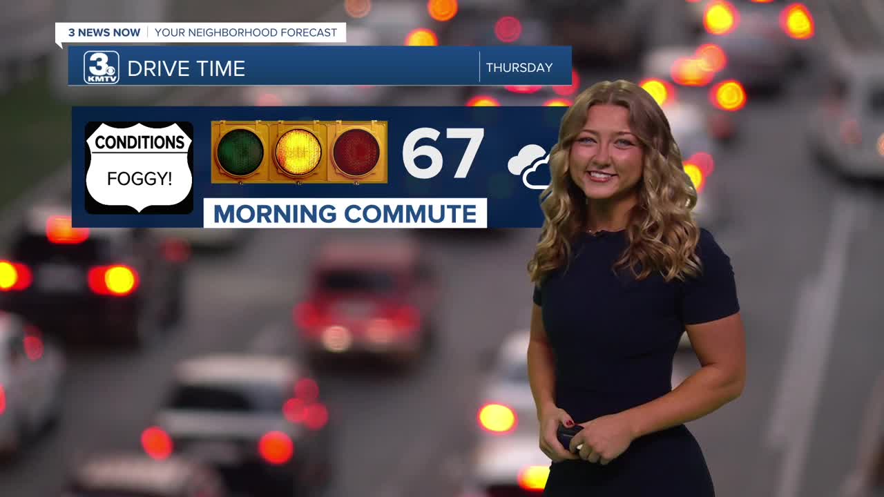
We're waking up to some super dense fog for our Thursday morning, and that puts us under a fog advisory until 10 AM. Make sure to leave early or take your morning commute a little slower to stay safe!
Very spotty light rain is possible Thursday, but more than likely it will now be drier day with a few rays of afternoon sunshine if the clouds can thin out enough! Temps should make it back into the upper 70s.
A few spotty thundershowers are possible late Thursday night, after 9-10 PM. This rain could clear out by the start of Friday.
Friday will be a mostly sunny, warmer and windy day that ends with thunderstorms in the evening. We will also be monitoring a severe weather chance on Friday evening with highs in the mid 80s. The best time to see rain will be after 4 PM.
We'll keep the rain at probable chances over this weekend, so have a backup plan for any of your outdoor events this weekend. Saturday may stay dry through the afternoon, with rain moving in during the evening. Sunday looks cool and wet, in the 50s to 60s for most of the day.
In total, we could see an additional 2.0" to 4.0" of rain across the region through Sunday night. Some of our highest amounts will be across southwest Iowa where amounts could reach 5.0" of rain.
Next week should start to see a 'drying-out' pattern return to the region with temps at, or cooler than 75 degrees.
THURSDAY
Mostly Cloudy
AM Dense Fog
High: 79
Wind: E 5-15
THURSDAY NIGHT
Cloudy
Mostly Dry
Low: 69
Wind: NE Calm
Friday
Mostly Sunny
Strong PM Storms
High: 86
Wind: S 15-25
Share your weather pictures with KMTV:
- Email to News@3newsnow.com
- 3 News Now Facebook page
- Use the hashtag #3NewsNow on Instagram or X.
 Facebook
  YouTube
 Instagram
 X
X