

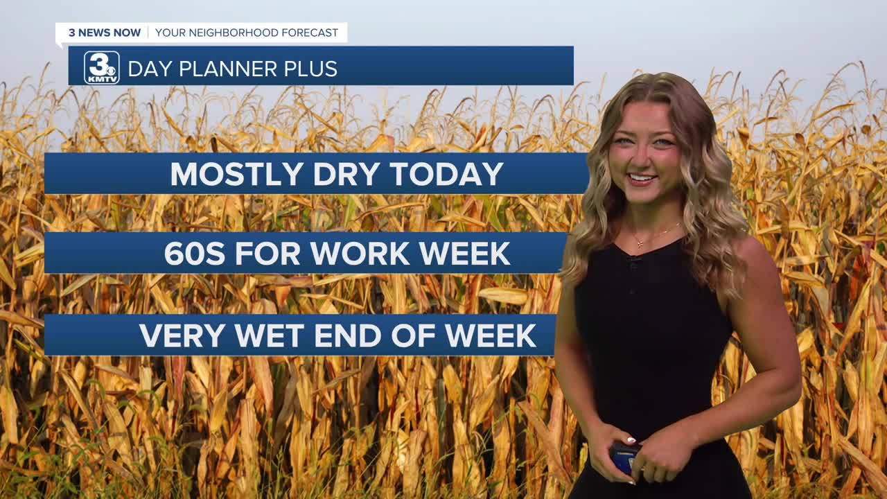


3 Things to Know
- Drier for our Wednesday
- More wet weather as soon as tomorrow
- Watching for flooding potential this weekend
Forecast
We're waking up to some mostly cloudy skies here for our Wednesday morning, temps currently feel like the upper 50s and lower 60s in most areas!
We could continue with that cloud coverage and notice a couple of drizzles for the rest of our Wednesday morning. Luckily, we can expect a little bit of clearing in our clouds, and we might even see some sunshine! That will help our temps to climb a little warmer compared to yesterday, expect the upper 60s and get outside!
Our pattern shifts back to more wet weather for the region starting late Wednesday night. Scattered rain and storms will be possible from Thursday, through Friday and Saturday. Some of this rain could be heavier at times, with rain amounts of 1-4" across the region through Saturday night. Severe weather does not appear likely at this time.
Due to the recent rain over the last two weeks, and the amount of rain we could see through Sunday, flooding will become more of a concern later this weekend. Up until Tuesday, Omaha has seen 12 consecutive days of rainfall. If we see some drizzle Wednesday morning, that will continue the stretch.
By Sunday, things will be starting to dry out and there will be a little sunshine with highs in the mid 70s.
Looking ahead into next week, Monday looks partly sunny and near average in the upper 70s. There are still a few chances at rain, but things will be closer to normal for temps in the 70s by the end of next week, which is already the beginning of October.
WEDNESDAY
Mostly Cloudy
Spotty Light Rain
High: 68
Wind: E 5-15
WEDNESDAY NIGHT
Building Clouds
Spotty Showers from West
Low: 57
Wind: N Calm
THURSDAY
Cloudy and Wet
Scattered Showers
High: 66
Wind: SE 5-15
Share your weather pictures with KMTV:
- Email to News@3newsnow.com
- 3 News Now Facebook page
- Use the hashtag #3NewsNow on Instagram or X.
 Facebook
  YouTube
 Instagram
 X
X