

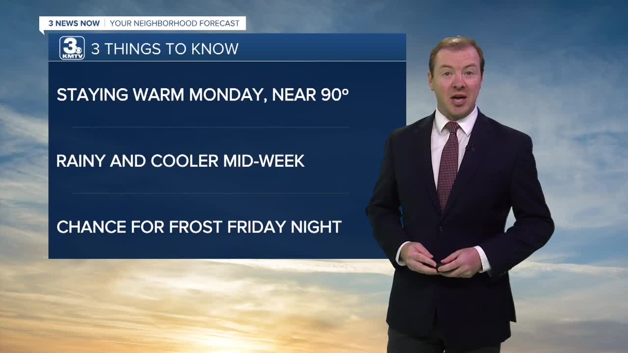


3 Things to Know
- Warm and windy Monday, near record highs
- Cooler with rain mid-week
- Chance at first frost of season Friday night
Forecast:
It will be a warm and breezy Sunday night with temps holding near 70 into Monday morning.
Monday will be another sunny, warm and breezy day with low humidity across the region. Continue to hold off on burning anything outside. Highs will be near 90 degrees for the 4th day in a row. The record is 95 degrees.
A cold front will arrive from the north heading into Monday evening. No rain is expected from it. But, it will knock our temps down by quite a bit for the rest of the week.
Tuesday will not be nearly as windy, but it will be much cooler with highs in the mid to upper 70s. A few spotty rain showers are possible later Tuesday night,
The middle of the week looks wetter at times, especially Wednesday evening through the day on Thursday. We won't see heavy amounts of rain. Most will end up with 0.50" or less through Thursday night. Thanks to the clouds and rain, temps on Wednesday and Thursday will be back in the 60s.
It may be a little windy on Friday as even cooler and drier air moves into the region. Northwest winds on Friday could gust up to 45 MPH.
The first frost of the season appears likely Friday night as temps across the whole Omaha region dip in the mid/upper 30s. A freeze does not appear likely at this time.
SUNDAY NIGHT
Mostly Clear
Breezy and mild
Low: 69
Wind: S 15-20
MONDAY
Mostly Sunny
Warm & Breezy
High: 90
Wind: S to NW 15-25 G35
TUESDAY
Partly Sunny
Milder, less windy
High:79
Wind: NW 10-20
Share your weather pictures with KMTV:
- Email to News@3newsnow.com
- 3 News Now Facebook page
- Use the hashtag #3NewsNow on Instagram or X.
 Facebook
  YouTube
 Instagram
 X
X