



3 Things to Know
- Spotty Drizzle for Monday
- Fall begins with temps in the 60s
- Trending wetter for late week
Forecast
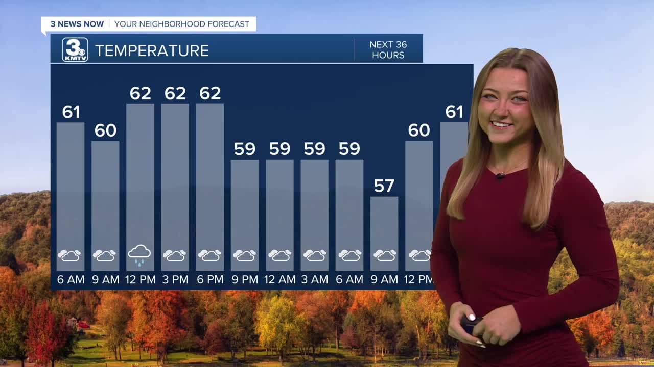
We'll wake up this Monday morning to that awkard situation where you don't really know what speed to put your windshield wipers at. The scattered drizzle will continue on even into our Monday afternoon.
If we don't see the sprinkles, we'll be under mostly cloudy skies for today. Highs will only peak out around the lower 60s, we typically see the upper 70s this time in September! This week could be the longest stretch of cooler temps we've seen since May!
We dry out Tuesday, the first day of Fall, with highs in the low 60s. By Tuesday night, Omaha drops to near 50, while our rural communities see our first taste of the 40s this season.
Wednesday through the weekend begins a subtle warmup as highs creep back into the upper 60s and some 70s.
Thursday and Friday are trending wetter with a couple waves of rain both days. No storms or severe weather is expected. Rainfall amounts will be less than 1" for most of us, but a few neighborhoods may see up to 2".
Rain showers may continue into Saturday as temperatures hit the 70s once more. We'll still see the lower 70s for Sunday, but things are trending just a tad drier!
MONDAY
Cloudy
Drizzly
High: 62
Wind: NE 5-15
MONDAY NIGHT
Cloudy
Mild
Low: 56
Wind: N 5-10
TUESDAY
Mostly Cloudy
Fall!
High: 63
Wind: NE 5-15
WEDNESDAY
Partly Cloudy
Mostly Dry
High: 66
Wind: NE 5-15
Share your weather pictures with KMTV:
- Email to News@3newsnow.com
- 3 News Now Facebook page
- Use the hashtag #3NewsNow on Instagram or X.
 Facebook
  YouTube
 Instagram
 X
X