



3 Things to Know
- Foggy, but dry Monday
- Widespread rain Tuesday-Wednesday
- Drying out and cooler late week
Forecast
We stayed dry on Sunday, and even saw some sun in the afternoon! Highs are seasonal, in the mid-70s, and we cool into the low 60s tonight.
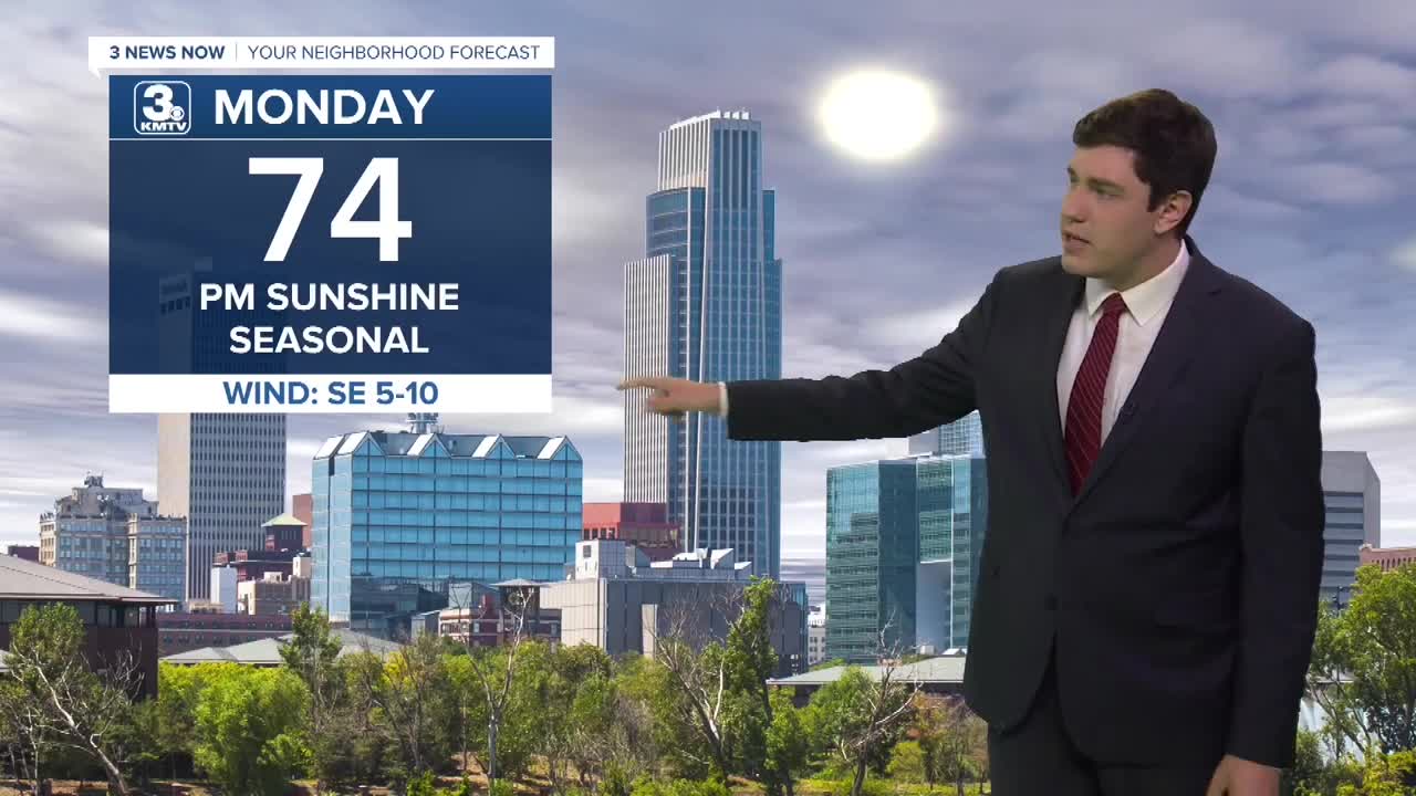
Due to the moisture around, we could wake up to patchy fog on Monday, but the rest of the day looks partly sunny and near average in the mid-70s.
We may start Tuesday dry and cloudy before rain moves in through the afternoon along a cold front, and lasts into the night. Highs will be in the low 70s.
Wednesday stays wet as the cold front gets infused with moisture streaming up from the remnants of Hurricane Polo in the Pacific. The heaviest axis of rain will wobble between now and then, but the trend has shifted this north to areas along I-80, where an additional 2-4" is posssible by Thursday afternoon. We could even see a few storms mixed in Wednesday evening, but no severe weather is expected.
So far, September rain totals at Eppley are around 7" as of Friday morning, which is now in the top 10 wettest Septembers on record. With the additional rain on the way, we may end up in the top 5. The record is 13.75", set in 1965.
We start with rain on Thursday, but we dry out by the afternoon with cooler air moving in.
While we keep a small rain chance into the weekend, the weekend is looking dry, partly sunny, and cooler with highs in the 60s and lows in the 50s.
MONDAY
Partly Cloudy
Dry
High: 74
Wind: SE 5-10
MONDAY NIGHT
Mostly Cloudy
Increasing Clouds
Low: 62
Wind: SE 5-10
TUESDAY
Cloudy
Rain
High: 72
Wind: SE 5-10
WEDNESDAY
Cloudy
Rain & Storms
High: 71
Wind: SE 5-10
Share your weather pictures with KMTV:
- Email to News@3newsnow.com
- 3 News Now Facebook page
- Use the hashtag #3NewsNow on Instagram or X.
 Facebook
  YouTube
 Instagram
 X
X