



3 Things to Know
- Flood Advisory until Tuesday PM
- A wet week with several rain chances
- Cooler midweek, slowly warming
Forecast
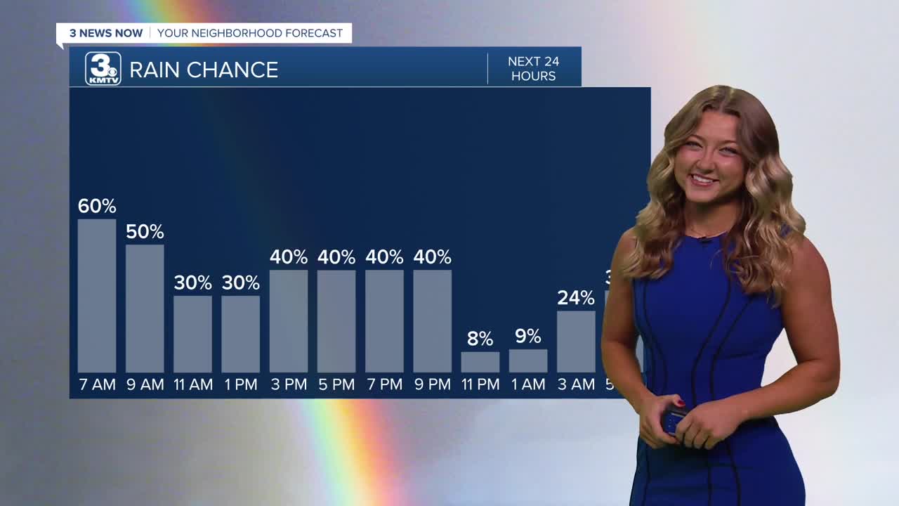
Parts of our area are gathered under a Flood Watch until Tuesday evening. This is due to the heavy rainfall we saw last night, and continue to see even into our Tuesday afternoon.
The rain will hopefully become spottier by those afternoon hours, with most of the afternoon/evening rain being south of Omaha/south of I-80. Temperatures will struggle to reach 70 degrees in most areas today, that's in part thanks to the previous cold front. We could be a bit breezy again today, with northerly winds pulling in additional cooler air.
More rain will move in late Tuesday and for Wednesday morning. There may again be some afternoon or evening dry time. Temps will hold around the 70s.
There may now be a little more dry-time continuing into Thursday, and we could even squeeze out some sunshine. This will push our temps back to near 80 degrees.
Friday continues the wet-weather theme, with thunderstorms and breezy winds possible throughout the afternoon and evening. We will also be monitoring a severe weather chance on Friday with highs in the mid 80s.
In total, we could see 1.0" to 3.0" of rain across the region through Friday night. Some of our highest amounts will be across southwest Iowa where amounts could reach 5.0" of rain.
This weekend does have some rain forecast, but the whole weekend will not be wet. Look for spotty rain on Saturday, and some isolated rain on Sunday. We'll be cooling off back into the 60s/70s again by Sunday.
TUESDAY
Cloudy
Scattered Rain South
High: 70
Wind: N 5-10
TUESDAY NIGHT
Cool!
Even More Rain
Low: 59
Wind: NW 5-15
WEDNESDAY
Mostly Cloudy
AM Rain & Storms
High: 73
Wind: E 5-10
Share your weather pictures with KMTV:
- Email to News@3newsnow.com
- 3 News Now Facebook page
- Use the hashtag #3NewsNow on Instagram or X.
 Facebook
  YouTube
 Instagram
 X
X