

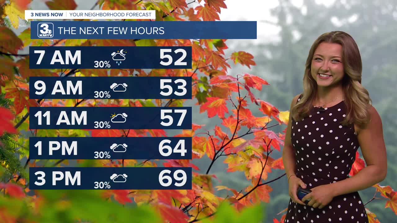


We've got a pretty diverse forecast for our Monday as some of us kick off this morning under heavy showers, while others stay mostly dry. This division, caused mostly by a stationary front, will also play a role in our afternoon temperatures. Highs south of I-80 will be in the upper 70s, Omaha around 70, and highs over northeast NE drop into the 40s by the afternoon. While our chances for seeing showers today isn't zero, any rain opportunities will be low and quite scattered!
We are dry on Tuesday, just under some partly cloudy skies! We can all expect to see some cooler temps by then, with highs around the mid 60s.
Highs on Wednesday look to recover into the mid-70s. Another quick storm system brings rain and a few thunderstorms Wednesday evening.
Thursday looks pretty similar to the weather we see on Tuesday, with more partly cloudy skies, low rain chances, but some warmer temps! We'll still be above average Thursday, with our highs still in the low 70s.
Friday will begin to introduce a more active weather pattern. Temps will still hold in the lower 70s, and most of us should expect to see some more widespread precipitation as we head into our Friday afternoon and evening.
Of course, we can't forget that this Saturday is Halloween! So far, temps look to cool off in the 60s, but that system previously mentioned for Friday brings the potential for lingering showers into the beginning of Saturday. So far, it looks like a lot of that rain holds off as we enter into those evening, trick-or-treating hours!
MONDAY
Cloudy
Scattered Rain
High: 70
Wind: SE 5-15
MONDAY NIGHT
Mostly Cloudy
Rain Moves Out
Low: 48
Wind: E 5-10
TUESDAY
Mostly Cloudy
Dry
High: 63
Wind: S 5-15
WEDNESDAY
Partly Cloudy
Evening Storms
High: 74
Wind: S 10-20
Share your weather pictures with KMTV:
- Email to News@3newsnow.com
- 3 News Now Facebook page
- Use the hashtag #3NewsNow on Instagram or X.
 Facebook
 YouTube
 Instagram
 X
