



3 THINGS TO KNOW:
- Spotty storms Wednesday evening
- Rainy Friday & Saturday
- Multiple rounds of rain early next week
FORECAST
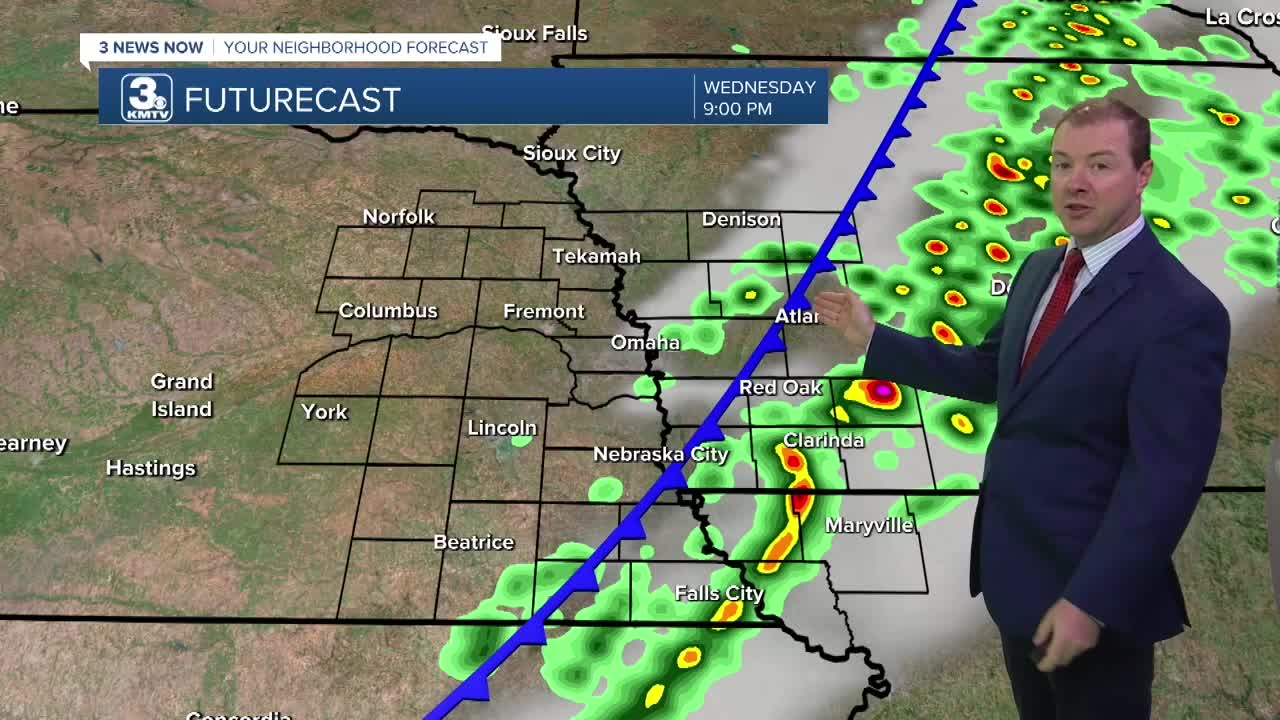
A passing cold front will kick off a few thunderstorms, mainly across our western Iowa neighborhoods this evening until midnight. If you are in Nebraska, the chance at rain is less than 10%, but Nebraska Cit to Falls City could see some of this rain. In total, rain amounts will be around 0.10 to 0.25" from these storms.
Thursday starts cool in the morning, in the 40s and 50s. Thursday will be the dry day out of the week with highs in the 60s, followed by more rain moving in overnight Thursday going into Friday. This rain will continue off and on into Friday night and Saturday.
While rainy for the first half of the day Saturday, trends are showing things will be drier after 2-4 PM, leading to a cloudy, but dry Saturday evening for the Halloween trick-or-treat! Temps will be in the 50s/60s Saturday evening.
Daylight Saving Time ENDS Saturday night. Set your clocks back ONE hour. Sun set times will be before 5:30 PM until late January.
We'll get a short break from the rain on Sunday, but there is more rain next Monday and Tuesday of Election Day, followed by cooler weather. Rain amounts early net week could reach an additional 0.50" in many areas. We'll be closer to average temperatures, in the 50s, for the first days of November. There may be a few nights in the 30s later next week if cold enough air can arrive.
WEDNESDAY NIGHT
Partly Cloudy
Storms until 12 AM
Low: 51
Wind: NW 10-15
THURSDAY
Partly Sunny
Cooler
High: 68
Wind: NE 5-15
FRIDAY
Scattered Rain
Breezy
High: 68
Wind: SE 10-20
Share your weather pictures with KMTV:
- Email to News@3newsnow.com
- 3 News Now Facebook page
- Use the hashtag #3NewsNow on Instagram or X.
 Facebook
 YouTube
 Instagram
 X
