



3 Things to Know
- Southerly winds continue till Monday!
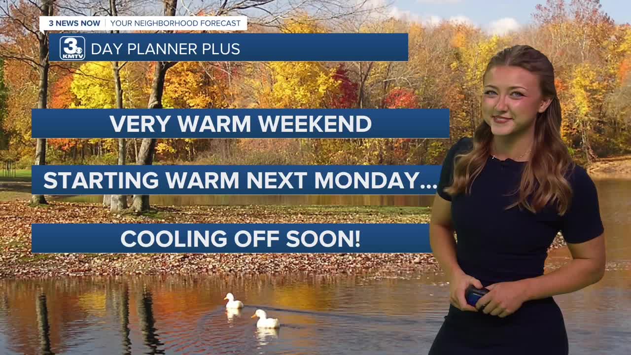
- Record nearing highs for weekend
- Pattern change to cooler, wet weather next week
Forecast
Records:
FRI - 91 (2026) - NEW RECORD!
SAT - 91 - Stay Tuned!
SUN - 91
MON - 95
The rest of our Saturday looks to continue with a lot of the heat we've seen! We could break those records this afternoon! We'll keep with the breezy conditions even into the overnight hours.
Even with all of that rain we had last week, the combination of gusty 30+ MPH winds on Saturday and very dry air means we will have elevated wildfire conditions. Please avoid burning any brush piles or the use of fire pits this weekend. Sunday's wind will be closer to 25 MPH, keeping our temps in the lower 90s by Sunday afternoon.
The warmth and the breezes stick around even as we head into the beginning of next week. Monday's temps will still be in the upper 80s, with more sunshine. Overnight Monday we can expect temps to drop back into the 50s though!
A "pattern change" will occur next week thanks to a multi-day storm system starting around Tuesday. This could bring a few rounds of spotty rain and windy conditions around Tuesday night, Wednesday and Thursday. It's too early to know rain amounts yet, but we will certainly see less than recent storm systems.
A cool-down for the second half of next week is expected, where high temps are expected to dip into the 50/60s after Thursday. If skies are clear enough by next weekend, we should be cool enough in the upper 30s for Omaha's first frost of the fall season (Oct 19-20th).
SATURDAY
Mostly Sunny
Warm & Breezy
High: 92
Wind: S 20-35
SATURDAY NIGHT
Partly Cloudy
Still Breezy
Low: 67
Wind: S 15-20
SUNDAY
Mostly Sunny
Warm & Breezy
High: 90
Wind: S 15-25
Share your weather pictures with KMTV:
- Email to News@3newsnow.com
- 3 News Now Facebook page
- Use the hashtag #3NewsNow on Instagram or X.
 Facebook
  YouTube
 Instagram
 X
X