

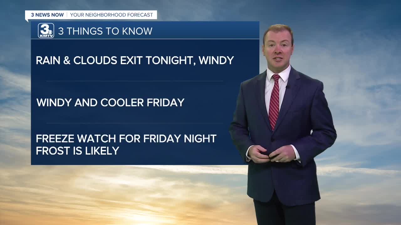


3 Things to Know
- Windy tonight and Friday, gusts up to 45 MPH
- FREEZE watch in effect for Saturday morning.
- Milder this weekend, next week
Forecast:
A FREEZE WATCH is in effect for much of Nebraska and Iowa for Friday night into Saturday morning.
It will be a breezy and chilly Thursday night as skies become partly cloudy. Temps into Friday morning will dip in tot he low to mid 40s. Wind chills will be around 35-39 in the morning.
After a mostly cloudy start to the day, some sunshine looks to return on Friday afternoon. It will be a windy day with northwest winds at 25-45 MPH and highs only in the low 50s.
You will need some layers for high school football games around the region with game-time temps already in the upper 40s. The wind will quickly calm down after sunset (6:30-7:00 PM)
Our first frost of the season is likely on Friday night, and we may now also be dealing with our first freeze of the season for some, too. Temps by Saturday morning will be around 30-34 degrees. It is a good idea to bring inside, or cover up any plants that are sensitive to cold weather. This is our only night with any frost potential over the next 7-10 days.
Drier, sunny weather makes its return over the weekend and it will be less windy out, too. Highs will be in the low 60s on Saturday and the upper 60s on Sunday.
Next week looks warmer than average and partly sunny with highs in the 70s and lows in the 50s. There may be some more rain later next week.
THURSDAY NIGHT
Breezy
Clearing Clouds
Low: 43
Wind: N 15-35
FRIDAY
AM Clouds/PM Sun
Windy
High: 54
Wind: NW 25-45
SATURDAY
Sunny
Morning Frost/Freeze
High: 61
Wind: NE 10-15
Share your weather pictures with KMTV:
- Email to News@3newsnow.com
- 3 News Now Facebook page
- Use the hashtag #3NewsNow on Instagram or X.
 Facebook
  YouTube
 Instagram
 X
X