



OMAHA, NE. — Douglas County residents have a new way to shape the future of metro-area trails through a public survey and interactive map.
The Metropolitan Area Planning Agency, or MAPA, developed the survey, which allows users to open the map, drop a pin and note what they want changed or added in a given area.
Hundreds of residents have already weighed in.
Lindsey Button, a MAPA transportation planner, said community participation is central to the effort.
"Public input is the biggest component of plans like this," Button said.
Button said the map is designed to surface problems that planners might otherwise miss.
"Until we get input from folks that are walking these trails every day, we aren't going to know where a lot of those gaps exist," Button said.
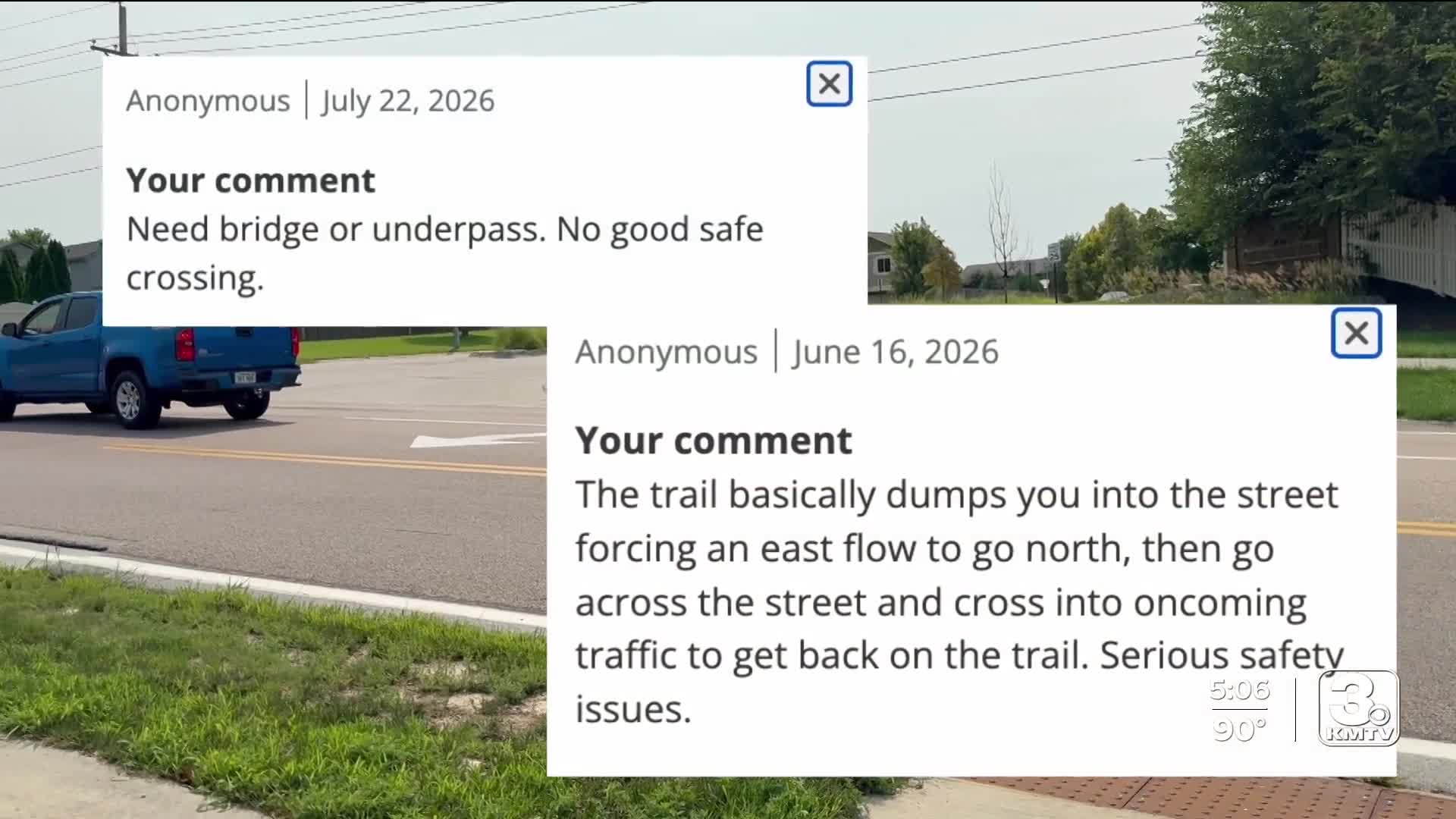
Neighbors across the metro have already reported a range of safety concerns through the map.
At Fort Street and N. HWS Cleveland Boulevard in northwest Omaha, three residents flagged a portion of the West Papio Trail just outside the Quail Run Valley neighborhood, calling for a bridge over the busy road and describing the current situation as a serious safety issue.
Nearby, in the Standing Bear Village neighborhood on 144th Street between Fort and Ida, residents raised concerns about a crossing at 144th Street, calling for better sidewalks and landscaping to make pedestrians more visible to traffic.
Button said the map is part of a broader effort to improve trail connectivity as the region grows.
"The county is growing pretty substantially and pretty quickly," Button said. "So, part of this effort is kind of looking at where we can make inroads to get those trails connected, so it is a consistent network (that) can get you from one spot to the other spot."
Feedback is also coming in from other parts of the county.
At the trail below D and 42nd streets in south Omaha, thick mud has drawn repeated complaints, including from Darelynn E., who walks the trail weekly and said she once fell in the mud.
"It really gets piled up, and there is a little stream on each side, so sometimes it just spills on there (from) the downpour (of) dirt and mud," Darelynn said. "I would love to see it cleaned off."
The survey and interactive map will close on Aug. 30. Once closed, MAPA will submit its findings to the city of Omaha in December.
The survey and interactive map are available on the county's website. If you would like to participate, click here.
