



3 Things to Know
- More rain Saturday night
- Trending drier on Sunday & Monday
- More rain Tuesday-Friday
Forecast
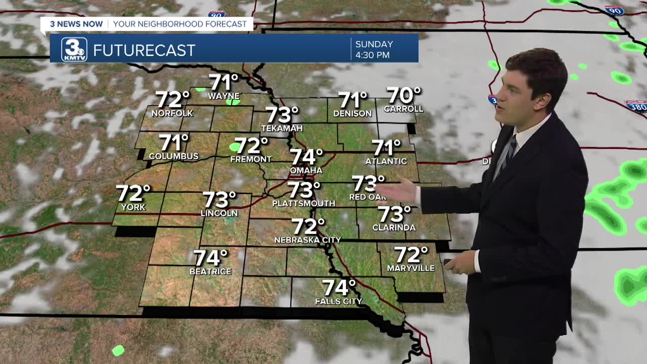
We are drying out this Saturday after morning rain, but a few showers and storms will redevelop this evening. Not everyone will see rain, but some of us will. These scattered showers will be around through the night before moving east by Sunday morning.
By Sunday, things will be starting to dry out and there will be a little afternoon sunshine!
Monday looks partly sunny and near average in the mid-70s.
By Tuesday, another storm system will move through with a widespread chance of rain as a cold front moves through with highs near 70.
Wednesday and Thursday keeps the widespread rain chance, aided by moisture streaming up from the remnants of Hurricane Polo in the Pacific. The heaviest axis of rain will wobble between now and then, but the trend is for neighborhoods south of I-80 to pick up 2-5" of rain by Friday. Elsewhere, up to 2" will be possible.
So far, September rain totals at Eppley are around 6.85" as of Friday morning, which is now in the top 10 wettest Septembers on record. With the additional rain on the way, we may end up in the top 5. The record is 13.75", set in 1965.
SATURDAY NIGHT
Cloudy
Evening Rain
Low: 64
Wind: SE 5-10
SUNDAY
Partly Cloudy
Mostly Dry
High: 7
Wind: SE 5-10
MONDAY
Partly Cloudy
Dry
High: 74
Wind: SE 5-10
TUESDAY
Cloudy
Rain
High: 70
Wind: SE 5-10
Share your weather pictures with KMTV:
- Email to News@3newsnow.com
- 3 News Now Facebook page
- Use the hashtag #3NewsNow on Instagram or X.
 Facebook
  YouTube
 Instagram
 X
X