



3 Things to Know
- Wet and cool this weekend
- 'Fall-like' feel with temps in the 60s next week
- 'Drying out' before more late-week rain
Forecast
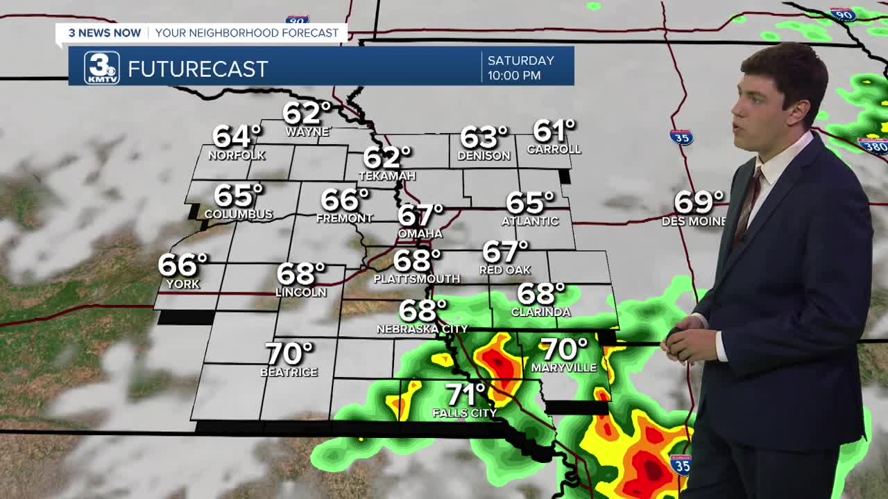
As a cold front continues to move through the area, temperatures for most outside of our southern counties are in the 70s. We will be mostly be dry this evening, except for scattered storms in the Falls City to Maryville area. These storms could be strong with some hail & gusty winds.
We are cloudy to start the day on Sunday, and this will not abate through the day. Off and on showers will last through the day, with the best chance of rain in the afternoon. Highs are cooler than Saturday, with all of us in the mid-60s.
Rain showers continue into Monday with highs into the low 60s.
We dry out Tuesday, the first day of Fall, with highs in the low 60s. By Tuesday night, Omaha drops to near 50, while our rural communities see our first taste of the 40s this season.
Wednesday through the weekend begins a subtle warmup as highs creep back into the upper 60s and some 70s.
Unsettled weather also looks to return, with some rain on Thursday, and this may continue into the weekend.
SATURDAY NIGHT
Mostly Cloudy
Storms South
Low: 62
Wind: N 5-10
SUNDAY
Cloudy
Scattered Rain
High: 64
Wind: NE 5-15
MONDAY
Cloudy
Scattered Rain
High: 62
Wind: NE 5-15
Share your weather pictures with KMTV:
- Email to News@3newsnow.com
- 3 News Now Facebook page
- Use the hashtag #3NewsNow on Instagram or X.
 Facebook
  YouTube
 Instagram
 X
X