



3 Things to Know
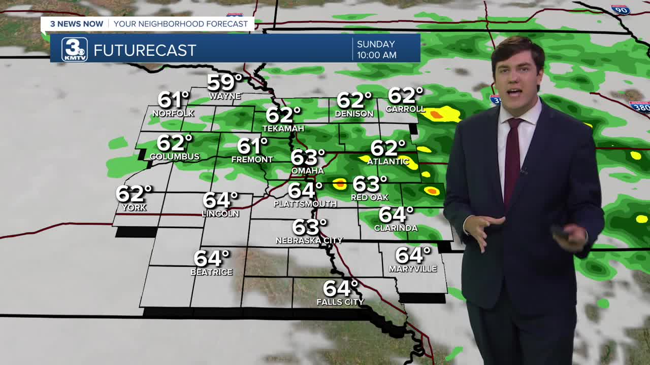
- Rainy Sunday morning, then a cool afternoon
- Strong to severe storms possible Monday evening
- Cool and wet for the week ahead
Forecast
The rain and storms are moving away from our area for Saturday night as temperatures sink to around 60.
In the pre-dawn hours Sunday morning, scattered rain and storms will build back into the area. These will linger through most of the morning, so grab the rain gear if you are heading out. By Sunday afternoon, we start to dry out, but our high will be cool in the upper 60s.
Another round of rain is possible Monday morning, but this should move out quickly. Monday will be a quick return to summer, with temperatures soaring into the upper 80s and a 40-mph wind. This will set the stage for evening thunderstorms along a cold front. Some of these storms could be severe with damaging winds, large hail, and perhaps a tornado or two.
Rain lingers into Tuesday, mostly along and south of I-80. Temperatures fall back to around 70 as cooler air surges back in, and remains a theme through the rest of the week.
Rain moves back to encompass everyone by Wednesday into Thursday. A few storms are possible Wednesday evening, but no severe weather is expected. Both days will be in the mid-70s.
Friday continues the wet-weather theme, but we slowly dry out by the weekend. In total, the region could see 1-3" of rain, but a few spots could see higher amounts. The flood threat is one to watch, particularly if storms run over the same areas over and over.
SATURDAY NIGHT
Partly Cloudy
AM Rain
Low: 60
Wind: N 10-20
SUNDAY
Mostly Cloudy
Scattered Storms
High: 69
Wind: N 7-15
MONDAY
Mostly Cloudy
Warm & Windy
PM Storms
High: 88
Wind: SE 25-40
TUESDAY
Mostly Cloudy
Scattered Rain
High: 70
Wind: SE 25-40
Share your weather pictures with KMTV:
- Email to News@3newsnow.com
- 3 News Now Facebook page
- Use the hashtag #3NewsNow on Instagram or X.
 Facebook
  YouTube
 Instagram
 X
X