



A front is dividing our region in terms of temperature. Highs south of I-80 reached the 80s, while neighborhoods in northeast Nebraska are in the 50s.
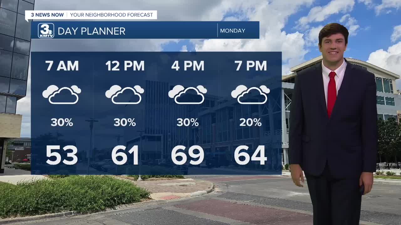
This divide grows more stark on Monday as a cold front arrives. Highs south of I-80 will be in the upper 70s, Omaha around 70, and highs over northeast NE drop into the 40s by the afternoon.
Showers will be possible west of Omaha beginning Sunday evening, these will be most numerous along and north of I-80 through Monday morning. South of the interstate, the chance you stay dry is much higher. While we gradually dry out over the course of the day, there will be scattered showers around into Monday afternoon.
We are dry on Tuesday with highs more uniform, holding in the mid-60s.
Highs on Wednesday look to recover into the mid-70s. Another quick storm system brings rain and a few thunderstorms Wednesday evening.
Thursday we keep things dry and mild with a high around 70.
Friday and Saturday (Halloween) our unsettled weather pattern will bring some rain on or around the holiday. Exactly when we see rain is unclear. It will stay on the mild side, however. Check back with KMTV as the forecast evolves before the holiday.
SUNDAY NIGHT
Mostly Cloudy
Scattered Rain
Low: 52
Wind: E 5-10
MONDAY
Cloudy
Scattered Rain
High: 70
Wind: SE 5-15
TUESDAY
Mostly Cloudy
Dry
High: 66
Wind: S 5-15
WEDNESDAY
Partly Cloudy
Evening Storms
High: 74
Wind: S 10-20
Share your weather pictures with KMTV:
- Email to News@3newsnow.com
- 3 News Now Facebook page
- Use the hashtag #3NewsNow on Instagram or X.
 Facebook
 YouTube
 Instagram
 X
