



3 Things to Know
- Near average temps this week
- Best upcoming rain chance is Wednesday night
- Several 90º to 95º+ days next week
Forecast
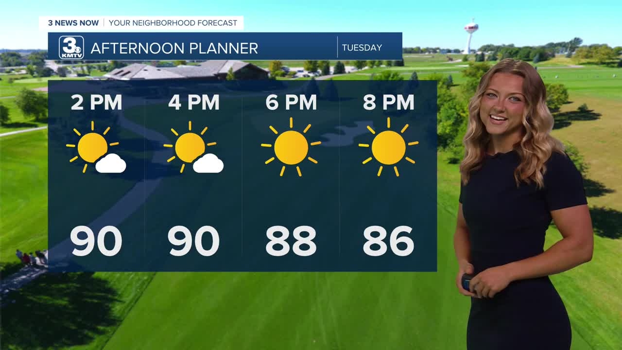
If you enjoyed the weather for Monday, then Tuesday is right up your alley! We get another great afternoon with lots of sunshine and near-average highs on Tuesday. High temps will be a 'touch' warmer, nearing 90 degrees. The average high for Omaha right now is 88.
We'll have a better chance at reaching the low 90s in the metro on Wednesday under partly to mostly sunny skies. You may notice a little more humidity in the air, too.
A cold front will begin to approach Omaha to the north Wednesday night, kicking off a few thunderstorms. Some gusty wind and pockets of large hail may be possible, but severe weather looks limited right now.
We'll keep the chance at rain in the forecast for both Thursday and Friday, but there should be plenty of dry-time, too. Temps will be a little cooler, in the mid to upper 80s later this week thanks to the extra clouds and rain.
In total, there could be around 0.10" to 0.50" of rain from Wednesday through Friday. Some may see more, some may not see any rain at all.
By this weekend, clouds will begin to thin out and we are back to sunshine. We are also back to the warmer weather, too. Highs will be in the upper 80s to low 90s on Saturday and Sunday, but the humidity shouldn't be too bad.
Some attention has turned to next week with the upcoming heat. By the middle of next week highs could climb back up into the mid 90s. Add some of the expected humidity with that, and we could be facing a couple days with some more dangerous heat indices!
TUESDAY
Mostly Sunny
Warm
High: 90
Wind: S 5-15
TUESDAY NIGHT
Mostly Clear
Warm
Low: 70
Wind: S 5-15
WEDNESDAY
Mostly Sunny
Late Storm Chances
High: 92
Wind: S 10-15
Share your weather pictures with KMTV:
- Email to News@3newsnow.com
- 3 News Now Facebook page
- Use the hashtag #3NewsNow on Instagram or X (formerly Twitter)
