



3 Things to Know
- Warmer and humid Friday, small rain chance
- Strong storms possible Saturday evening
- Heat index near 100 Sunday & Monday
Forecast
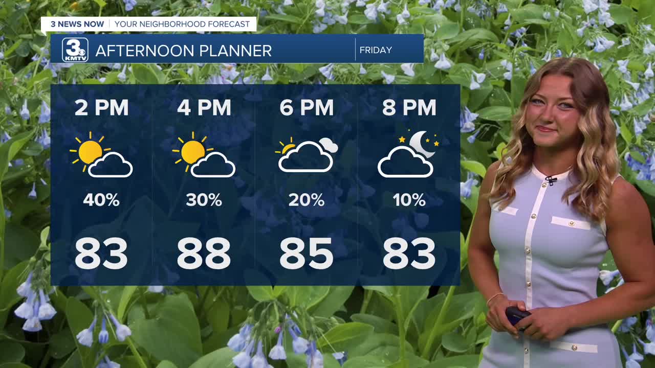
As we enter into our Friday afternoon, temps will continue to meet us right at that average mark. Most will see the upper 80s as the high for today! Additionally, we've seen a lot of dry time for our Friday, but we can't rule out the idea of a couple showers to clip our area towards the middle of our afternoon. If you're heading outside to enjoy some of the Friday festivities, be sure to have a way to view radar or receive alerts!
We'll head into our Friday evening likely seeing more dry time, temps are to dip into the upper 60s. We could wake up Saturday morning to some more fog, but it won't be to the extent that we've seen these past couple of mornings.
Lots of events are scheduled for Saturday afternoon, and that's when some of us could see some very isolated storms. As of right now, the best chance for severe storms looks to be in the late evening hours of Saturday, hopefully leaving most of us dry to enjoy those Saturday afternoon events. Some of the risks involved with those later storms include stronger winds and pockets of hail. We'll see highs around the upper 80s once again.
It gets even warmer by Sunday and Monday with highs in the low 90s, the humidity makes a return as well. Some of those heat indices could spike back up to 100, and there may be a few more spotty storms round, too.
Cooler air will start to move back into the region around the middle of next week with temps closer to the mid 80s by Wednesday. There are already some modest chances at rain from Tuesday to next Friday as well.
FRIDAY
Partly Sunny
Isolated PM Storms
High: 88
Wind: SW 5-10
FRIDAY NIGHT
Mostly Clear
Pleasant
Low: 67
Wind: SE 3-6
SATURDAY
Partly Sunny
Strong PM Storms Possible
High: 86
Wind: E 5-10
Share your weather pictures with KMTV:
- Email to News@3newsnow.com
- 3 News Now Facebook page
- Use the hashtag #3NewsNow on Instagram or X (formerly Twitter)
