



3 THINGS TO KNOW
- Stormy Thursday, severe storms possible
- Looking chilly this weekend
- More rain on Sunday
FORECAST
Some storms have already popped up Northwest of the metro, with hail large enough to produce a couple of severe thunderstorm warnings. Parts of Eastern Nebraska and Western Iowa, including the Omaha metro, are under a tornado watch until 7:00 p.m.
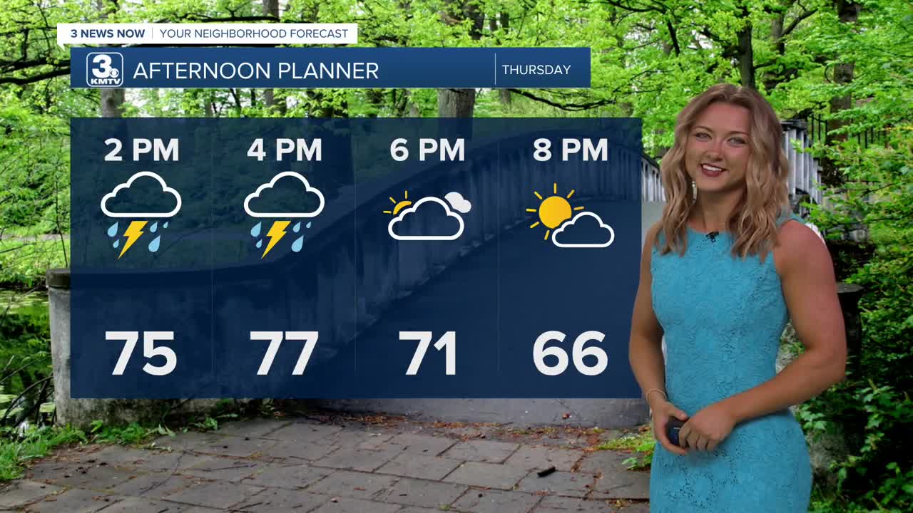
Our next cold front arrives on Thursday, bringing a chance of storms and gusty winds up to 35 mph. While there could be some rain in the morning, the best time to see storms will be in the afternoon, developing around 1-3pm, reaching Omaha/Lincoln around 4-5pm, and western Iowa around 5-7pm. Some of these storms could be severe, with strong winds and large hail possible. 'Spin-up' tornadoes may also be possible in the late afternoon. Temperatures will be cooler, reaching the mid 70s.
Estimated rain amounts around 0.25 to 0.50", with up to 1.00" possible through Thursday night
The sunshine is back Friday, and it's a little cooler in the mid 60s.
There may be more chances at rain over a chilly weekend. Saturday has a small chance at rain, followed by likely chances at rain showers on Sunday. Weekend temps will be in the low 40s at night, and near 60 during the day.
We'll continue this cooler than average temperature trend for all of next week, with highs in the 50s to low 60s. Rain chances next will be low, expected to stay mostly to the south of Omaha from Tuesday through Thursday.
THURSDAY
Mostly Cloudy
Strong PM Storms
High: 77
Wind: S 25-35
WEDNESDAY NIGHT
Clearing Clouds
Cooler
Low: 46
Wind: N 15-25
FRIDAY
Mostly Sunny
Cooler, Less Breezy
High: 67
Wind: NW 10-15
Share your weather pictures with KMTV:
- Email to News@3newsnow.com
- 3 News Now Facebook page
- Use the hashtag #3NewsNow on Instagram or X (formerly Twitter)
