



3 Things to Know
- Rainy Thursday, stormy evening
- Severe weather & flooding possible
- Less hot & humid this weekend - get outside!
Forecast
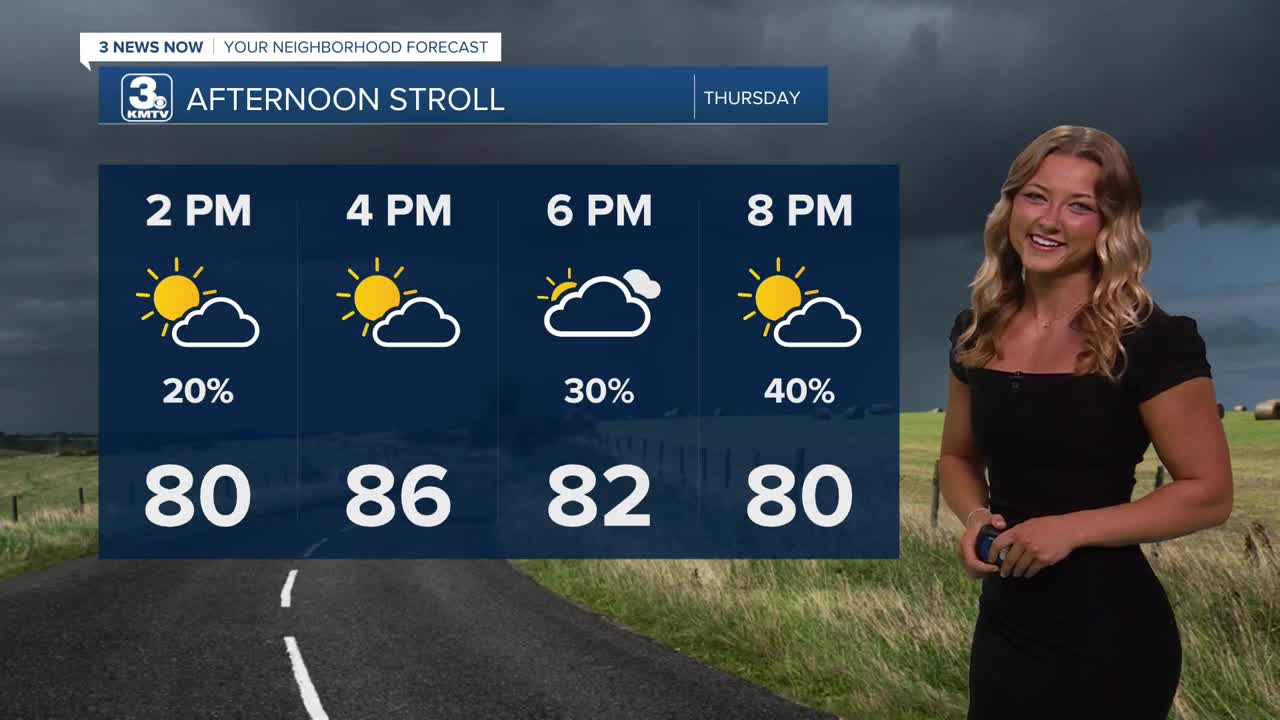
Heading into the afternoon hours, we'll continue the spotty storm trend. Some areas are already picking up hefty amounts of rainfall, expect some more as we head deeper into our Thursday. For most, the rest of the afternoon will be partly cloudy and very muggy with highs in the mid to upper 80s, feeling like 90-95.
Heading in to Thursday evening, a line of storms will approach us from central Nebraska, reaching Columbus/Norfolk around 6-8 PM and Omaha around 9-11 PM. These storms may initially be severe with damaging 60-70 MPH wind and heavy rain, but should be weakening by the time the line reaches the metro.
Very heavy rain from this system could lead to flooding in some areas. In total, we could see amounts of 0.50" to 1.50" commonly around the region from the Thursday rain. The locally highest isolated amounts could exceed 3.0" to 5.0" of rain.
Friday may start out wet, but there should be drier weather by the afternoon. It will be cloudy and breezy with highs in the mid 80s and north winds gusting to 25-35 MPH.
Once the weekend rolls in, we're back to sunny skies, calmer wind and seasonally warm weather. It should be less muggy outside, too! Weekend highs will be in the mid 80s Saturday, and near 90 on Sunday. We are into the low 90s again by Monday.
The humidity should remain a little lower this time and there are rain chance s around the middle of the week. With these rain chances, it's possible that our temps could be pushed back down into the upper 80s!
THURSDAY
Mostly Cloudy
Scattered Storms
High: 86
Wind: SE 10-15
THURSDAY NIGHT
Stormy
Flooding Possible
Low: 71
Wind: SE 5-15
FRIDAY
Mostly Cloudy
AM Rain
Breezy
High: 84
Wind: N 15-35
SATURDAY
Drier, Sunny
Beautiful!
High: 84
Wind: SE 10-15
Share your weather pictures with KMTV:
- Email to News@3newsnow.com
- 3 News Now Facebook page
- Use the hashtag #3NewsNow on Instagram or X (formerly Twitter)
