



3 Things to Know
- Last cool night in the 40s
- Warming up this week
- Windy with a small rain chance by the weekend
Forecast:
It was a comfortable day for Nebraska and Iowa with highs in the upper 60s.
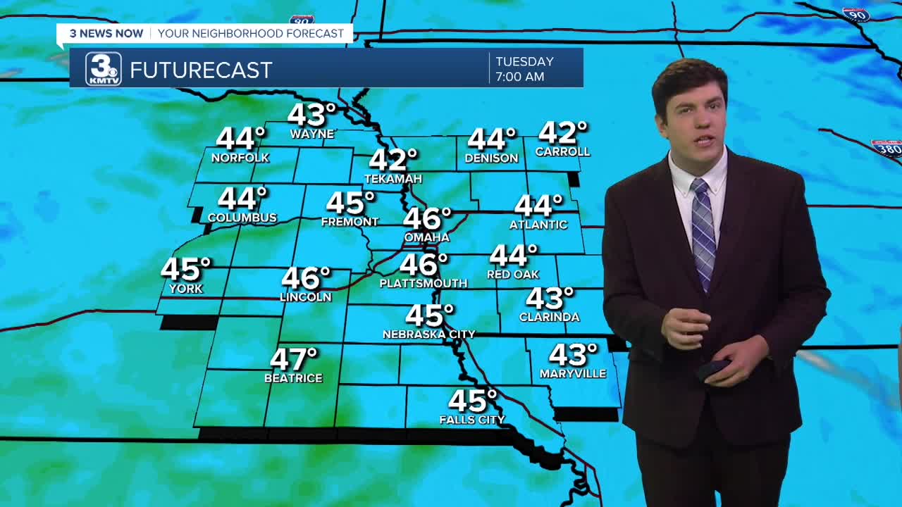
Overnight, it's our last chilly night with lows into the mid-40s.
The 70s are back on Tuesday, and the 70s will last through the week. Highs on Wednesday reach the mid-70s.
We get warmer Thursday into the weekend with highs into the upper 70s. Nowhere close to the recent heat wave, but still 10-15 degrees above average for late October.
Our next storm system encroaches the area on Friday and Saturday, bringing clouds and 20-40 mph winds. Depending on the speed of the cold front, our area may see some rain as early as late Saturday, lasting into Sunday.
Once the cold front passes, temperatures drop to our seasonal averages into early next week.
MONDAY NIGHT
Mostly Clear
Not as Chilly
Low: 47
Wind: S 5-15
TUESDAY
Mostly Sunny
Warmer
High: 73
Wind: S 5-15
WEDNESDAY
Mostly Sunny
Warm
High: 77
Wind: S 5-10
THURSDAY
Mostly Sunny
Warm
High: 79
Wind: SE 5-15
Share your weather pictures with KMTV:
- Email to News@3newsnow.com
- 3 News Now Facebook page
- Use the hashtag #3NewsNow on Instagram or X.
 Facebook
 YouTube
 Instagram
 X
