



3 THINGS TO KNOW:
- Scattered rain and breezy on Tuesday
- Seasonal rest of the week
- Frost concerns by late week
FORECAST:
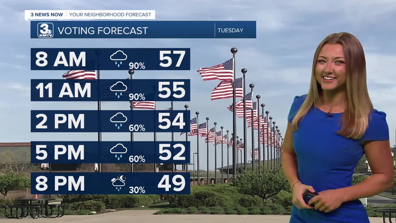
We're waking up to even more rainfall here for our Tuesday morning, and the trend will be pretty persistent for most of the day. Our temps will seem to work their way backwards as well, this is in part thanks to some of the cloud coverage and northerly breezes we'll be feeling! We start out in the upper 50s, but by this afternoon we'll drop a tad to the mid to even lower 50s!
By Wednesday, the cooler air looks to stick around! We can expect the lower 50s and most will stay dry, though areas near the northernmost border of the state may see a couple of spotty showers.
Temps will continue to remain cooler into the rest of the work week, with most seeing the lower 50s, some not even getting past the upper 40s! We should continue to see mostly dry conditions through the weekend as well.
We do have the potential to see some frost towards the end of the week, with lows expected to dip into the 30s into the weekend. After that though, we're looking at the beginning of next week climbing to the 60s once again.
TUESDAY
Cloudy
Rainy & Breezy
High: 54
Wind: SE 25-35
TUESDAY NIGHT
Mostly Cloudy
Drying Out
Low: 45
Wind: NW 10-20
WEDNESDAY
Mostly Cloudy
Cool
High: 53
Wind: NW 10-20
THURSDAY
Mostly Cloudy
Cool
High: 54
Wind: NW 5-15
Share your weather pictures with KMTV:
- Email to News@3newsnow.com
- 3 News Now Facebook page
- Use the hashtag #3NewsNow on Instagram or X.
 Facebook
 YouTube
 Instagram
 X
