

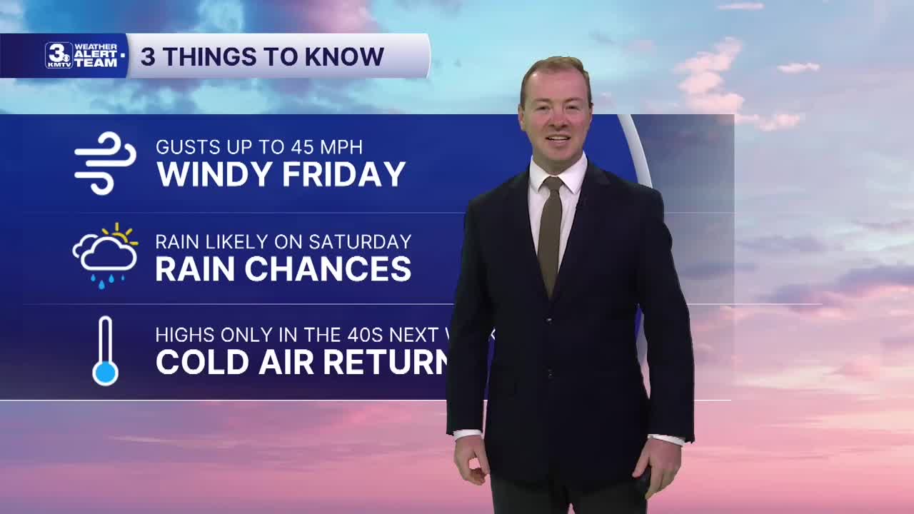


3 THINGS TO KNOW:
- Windy and warm Friday
- Rain, cooler weather Saturday
- Highs in the 40s over Thanksgiving week
FORECAST:
The wind will begin to pick up tonight, keeping things chilly, but milder temp-wise overnight. We start Friday in the low 50s, warming back to near 70 in the afternoon. The record is 75, set in 1933.
The wind will be gusty at times out from the south on Friday, at around 40-45 MPH. Hold off on burning anything outdoors until Sunday.
While dry on Friday night, rain is likely over the weekend, mainly on Saturday.
We'll start with temps near 60 in the morning, but a midday cold front will dip our temps in the 40s by the afternoon. Rain will be scattered on Saturday morning and becomes widespread by the afternoon through evening, clearing out Saturday night. Rain amounts could reach 0.25-0.50" on average around the region, especially across western Iowa. Eastern Nebraska will see closer to that 0.25" range.
By Sunday, we're back to sunny and colder weather in the 40s. Nightly temps will dip in the 20s by Sunday night.
We are watching for the potential of a rain and snow mix around Tuesday of Thanksgiving week, mainly Tuesday. But the latest trends are that it will stay mostly out in western Nebraska, leaving us dry but cool. It's looking cold with partly sunny skies and temps in the lower 40s for Thanksgiving.
THURSDAY NIGHT
Clear and Milder
Wind Picks Up
Low: 50
Wind: S 15-25
FRIDAY
Sunny & Warm!
Windy
High: 70
Wind: S 25-45
SATURDAY
Cloudy & Rainy
Cooler
High: 60, 4 PM down to 47
Wind: S to NW 15-25
Share your weather pictures with KMTV:
- Email to News@3newsnow.com
- 3 News Now Facebook page
- Use the hashtag #3NewsNow on Instagram or X.
 Facebook
 YouTube
 Instagram
 X
