



3 THINGS TO KNOW:
- A chilly weekend, nights in the 20s
- Sunny and dry through Wednesday
- Turning milder with rain late next week
FORECAST:
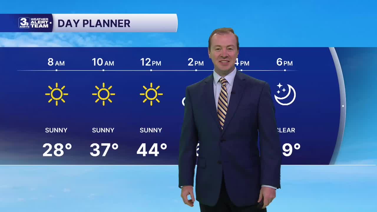
After a cold start to Saturday morning, things will warm up a little more than on Friday, thanks to more sunshine and a light south breeze. Highs will be in the mid to upper 40s, with a wind chills making it feel more like hte upper 30s outside.
Once the sun sets around 5:15 PM, it quickly gets cold again tonight with lows in the mid to upper 20s, not early as frigid as it was Friday night, and this may be out last night in the 20s for several days.
We warm up a little more on Sunday and Monday, back in the 50s with sunshine. By Wednesday, we're back to near 60 degrees with breezy winds and a few extra clouds. There is a small chance at rain on Wednesday with a passing cool front.
We are watching for another storm system to follow after the front, which will bring rain to the region starting around Thursday night and all day Friday, including the chance at thunderstorms. Some of this rain may continue into next weekend. We dont expect any snow from it yet, but we'll watch for those trends as it is now that time of year.
SATURDAY
Mostly Sunny
Chilly
High: 46
Wind: SE 5-15
SUNDAY
Mostly Sunny
Slightly Warmer
High: 51
Wind: S 7-10
Share your weather pictures with KMTV:
- Email to News@3newsnow.com
- 3 News Now Facebook page
- Use the hashtag #3NewsNow on Instagram or X.
 Facebook
 YouTube
 Instagram
 X
